
Many of us who enjoy cruising on coastal waters have probably heard that the “Sunset City” is San Francisco, CA.
But do you know what city is the “Sunrise City”?
It is ideally located on Florida’s eastern beautiful sandy shores and is …..
Fort Pierce, Florida!

Fort Pierce City Marina at sunrise
Fort Pierce and San Francisco are actually “Sister Cities” with their acclaims as the Sunrise and the Sunset cities.
Cruising southern Florida and maybe on to the Keys or Bahamas, a visit to this slice of ole Florida charm and hospitality will be well worth your time.
The town of Fort Pierce is located on what is called Florida’s “Treasure Coast.”
The Treasure Coast refers to the tons of treasure reportedly left at the ocean’s bottom by ships sunk in this immediate area.
The major drawing card here is the Spanish “Silver” Fleet sunk in this area in 1715.
Here’s a map outlining the Treasure Coast area in red for you “treasure hunters.”
Who knows, it just might be able to help you find a Spanish coin or two!

The city got its name from an Army post that was in the area named for Benjamin Kendrick Pierce, a career US Army officer and brother of President Franklin Pierce, hence the name, Fort Pierce. As the town gradually built near by, it took the name in 1838.
Fort Pierce City Marina first opened in 1938, ideally located in the heart of the town’s business district and local parks.

Circa 1948 Ten years after opening
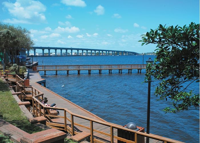
So much is within easy walking distance: excellent places to eat and one of our favorites is 12-A Buoy for excellent seafood. A nice stroll along Indian River Drive brings you by the Manatee Observation and Education Center, http://www.manateecenter.com and the A.E. Backus Museum and Gallery which is home to paintings by this local native of Ft. Pierce well known for his tropical landscape paintings, http://www.backusmuseum.com/.
Also nearby are many interesting places to visit such as:
National Navy SEAL Museum https://www.navysealmuseum.org/
Ft. Pierce Inlet State Park https://www.stateparks.com/fort_pierce_inlet_state_park_in_florida.html
which provide an abundance of recreational opportunities.
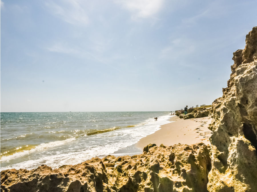
The breathtakingly beautiful half-mile beach welcomes visitors for swimming, snorkeling, surfing, and scuba diving. Beachcombing, picnicking, or just relaxing on the sand are also popular activities, and a slightly longer walk or short bike ride will take you to Heathcote Botanical Gardens, https://www.heathcotebotanicalgardens.org/.
Provisioning for your crew is rather special as each Saturday, Fort Pierce boasts one of the best farmer’s markets in all of Florida and it is ranked in the top five nationally, https://www.fortpiercefarmersmarket.com/.
Now that has to be some kind of Farmers Market.

Fresh baked bread

Over seventy vendors
And then on Wednesdays, the “Green Market” also takes place, so every skipper should be able to have some of Florida’s freshest produce aboard for all to enjoy.
On the social side, weather permitting, the first Friday of each month there is a “Street Party” with live music where you may meet new friends, and we are sure you will have some good ole fashioned enjoyment.
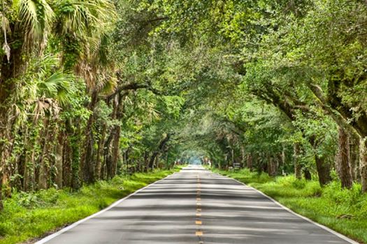
Going offshore for the Bahamas, one of Florida’s best east coast inlets is the Fort Pierce Inlet, known to be the “best all weather inlet on the east coast.”

Fort Pierce Inlet
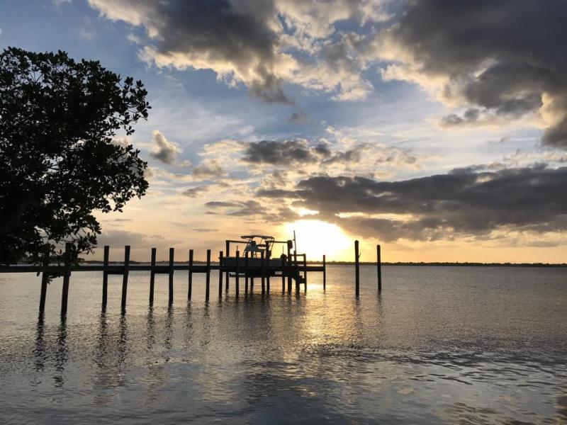
The inlet and surrounding Indian River Lagoon provides many spoil islands to enjoy on day trips with the family, or kayaking, or enjoying a picnic, but also easy access to the Atlantic and world-class fishing waters…and between us “friends,” maybe find a Spanish silver coin or two.

Spoil islands anchorage
Fort Pierce City Marina is eighty years young as this is being published. This first-class marine facility has not only stood the test of time, but this marina continues to lead with improvements, such as their $32.8 million dollar waterfront Island protection project, new floating docks, their “first in the state” eco-friendly Storm Protection System and improved yacht friendly navigation.
| Fort Pierce City Marina in 2007… | and here’s the marina in 2016 … |
 |  |
You have to visit and see first hand how this marina management team has worked hard and smart to develop something very unique that not only protects its marina slips but contributes to the local sea habitat, both fish and fowl.
Also provided for the cruising community is a new dinghy dock so cruisers can have easy and comfortable access to the town.

Ft. Pierce City Marina provides all the amenities of home: clean comfortable facilities, free wifi, two fueling stations, complementary pump-outs, two restaurants on site, pet friendly, supply store, etc… (see marina features below).

Fort Pierce City Marina is just south of South Bridge on the Atlantic ICW at Statute Mile 966.5. The entrance channel is relatively new, a couple years old now, just be sure your charts are current.
Contact them on VHF #16 or #17, or
Call via your cell phone to 800.619.1780 or local 772.464.1245.
Web site – http://www.fortpiercecitymarina.org/
Enjoy your stay with this team of professional marina providers. They are truly a skipper’s resource and excellent host for you as you enjoy your trip through this part of Florida. Many have come for a visit and, well, now Ft. Pierce City Marina is their home port. Let your team here at Cruisers Net know about your visit to Fort Pierce City Marina.
Marina Features
Click Here To View the Cruisers’ Net’s Eastern Florida Marina Directory Listing For Fort Pierce City Marina
Click Here To Open A Chart View Window, Zoomed To the Location of Fort Pierce City Marina


Be the first to comment!