|
Spring is almost here, which means things are changing – the days are longer, the air a little warmer, and our parks are coming to life as they thaw out from cold winter days. One thing that doesn’t change is how each one of us love and support our Outer Banks national parks. Did you know that people like you have played a role in supporting our national parks through donations and other support since they were first thought of as “America’s Best Idea” over 100 years ago? |
|
|
This year, we carry on that legacy as we celebrate five years helping you support our Outer Banks national parks. A lot has changed in just those five years: - You’ve helped create new ways to experience these special places.
- Our parks have seen a record number of visitors that has only slightly slowed down today.
- Our parks’ budget continues to tighten, making it more difficult for them to keep pace with our community’s needs.
That’s why your support is more important than ever this year. When you give a gift to Outer Banks Forever – whether it’s $50 or $500 – you allow us to help our parks adapt to these changes faster and easier. Together, we can ensure that these beautiful places remain a source of inspiration and wonder for years to come. |
|
We can’t thank you enough for being part of our Outer Banks Forever family for the past five years and look forward to the amazing work we can do together this year and beyond! See you in our parks, |
|
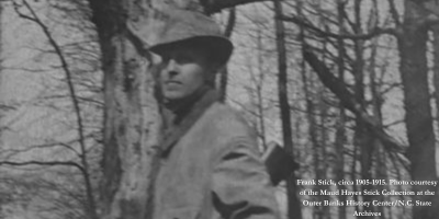
Meet Your Ranger: Robin Snyder |
|
| Our Meet Your Ranger series introduces you to the many amazing people who support our Outer Banks national parks every day! This month, we’re pleased to introduce you to Robin Snyder, Deputy Superintendent of our Outer Banks national parks! No two days are alike for Robin as she works closely with the Superintendent and division chiefs of administration, maintenance, visitor services, resource management, and visitor and resource protection to manage park operations for our three national parks! |
|
|
The Wright Flight Academy: Part I
Prepare for Takeoff! |
|
 | This content is brought to you by our National Park Service partners. Prepare for takeoff and join Wright Brothers National Memorial on an extraordinary adventure in partnership with Dare County Schools with The Wright Flight Academy!Experience the start of something special at Wright Brothers National Memorial with the first installment in a series of videos chronicling the extraordinary work being performed by students from First Flight High School. Over the next two years, 23 students will build their very own, two person “flying machine” (I.e., an FAA-certified airplane) on the same grounds where brothers Wilbur and Orville Wright achieved their world-changing first flight on December 17, 1903! We hope you’ll follow along and cheer these students on as they carry the torch of the Wright brothers’ legacy in The Wright Flight Academy! We’re proud to support this program by sponsoring this video series created by Rayolight Productions. As videos are made available, we’ll be adding them to our YouTube channel, sharing them on Facebook, and featuring them in our monthly e-newsletters. |
|
Partner Spotlight: OBX Beverage |
|
| If you’ve spent time in the Outer Banks, then you’ve likely enjoyed a beverage brought to you by our friends at OBX Beverage! OBX Beverage is the only locally owned and operated beverage distributor here in the Outer Banks. When Kiefer and Molly Pirrung purchased the business in 2021, they did so with the mission of contributing to our vibrant community, providing quality beverages and service to locals and visitors alike. |
|
|
| They are also passionate about protecting and enhancing our Outer Banks national parks, and have done so by supporting our Pathways to Your National Parks project! |
|
NPS Explains:
What’s Happening at Buxton Beach Access? |
|
This content is brought to you by our National Park Service partners. |
|
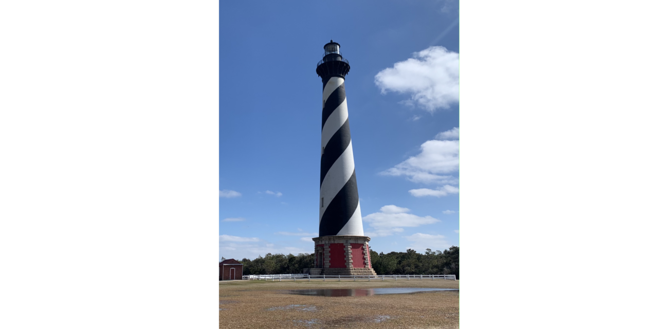
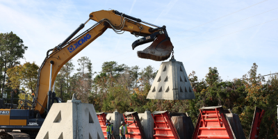
| From 1956 until 2010, Cape Hatteras National Seashore’s Buxton Beach Access, located at the south end of Old Lighthouse Road in Buxton, North Carolina, served our nation as a military base for both the United States Navy and Coast Guard. Due to decades-long military usage and apparently incomplete restoration of the area, samples taken from the Buxton Beach Access beach tested positive in early September 2023, for petroleum-contaminated soils (PCS). |
|
|
| Additionally, due to coastal erosion, abandoned facilities, construction debris, and septic systems associated with historic Navy and Coast Guard activities have been observed along the beach adjacent to the Buxton Beach Access. |
|
| On September 1, 2023, as a precautionary measure, the beach adjacent to the former military site was closed after experiencing beach erosion from Tropical Storm Idalia and Hurricane Lee. The erosion uncovered potentially hazardous infrastructure associated with the Navy and Coast Guard bases and visitors reported a strong smell of petroleum. The Seashore filed two reports with the Environmental Protection Agency’s National Spill Response Center. |
|
| Sediment samples taken in early September 2023, by the Coast Guard’s Spill Response staff came back positive for petroleum hydrocarbons with characteristics of light fuel oil, and lubricating oil. Since early September 2023, PCS have intermittently been observed on the beach. On September 25, 2023, the Dare County Department of Health and Human Services, the Seashore, and the Corps, issued a precautionary public health advisory. On February 9, 2024, Seashore staff noticed a very strong smell of petroleum products and multiple surfers reported that their wetsuits and hair smelled like fuel and noticed a sheen on the water near Buxton Beach Access. A number of reports were submitted to the National Response Center. |
|
| Today, it appears that the foundation of the terminal building, including two cable terminal vaults and other infrastructure associated with NAVFAC Cape Hatteras, litter the beach, due to significant coastal erosion over the years. While the National Park Service remains concerned about the remnant infrastructure and PCS at this site, it is also proud that for 26 years, America’s first national seashore hosted NAVFAC Cape Hatteras, a military facility that played an essential role in tracking Soviet submarine movements and provided valuable intelligence to the U.S. Navy. The Seashore continues to support the military by providing land to the Coast Guard for important operations out of Hatteras Inlet and Oregon Inlet. |
|
What’s next?- The beach remains closed as a precautionary measure.
- The Seashore will continue to communicate observations and concerns about the existence of PCS and debris to the Army Corps of Engineers and Coast Guard.
- The Corps continues to evaluate the situation and if its authorities will allow for the removal of historic building infrastructure and associated PCS.
- The Coast Guard is conducting a CERCLA investigation at the site to evaluate the presence of non-petroleum contaminants, which is underway and expected to conclude during the summer of 2024. The contract for the investigation is not related to the PCS observations in September 2023.
|
|
| To learn more about the history and status of this site from our National Park Service partners, click the button below. You can also learn more from our friend Joy Crist, Editor of the Island Free Press, by visiting her Editor’s Blog. |
|
Celebrating Pony Birthdays! |
|
| Join us in celebrating the Ocracoke ponies who have March birthdays! Did you know you can help these beautiful and unique ponies by symbolically adopting one or supporting the herd? Your support helps cover the costs of their ongoing care and feeding. When you Adopt A Pony or support the herd with a gift of $50 or more, you will receive an adoption certificate and a picture of your pony or of the herd to keep! |
|
| Lawton – March 9 Lawton is a handsome paint pony and is the Ocracoke herd’s only gelding. He is named after the late Lawton Howard, an Ocracoke local who generously loved and supported the ponies. Lawton enjoys playing with his four half-siblings in the herd and showing off for visitors! He’s also known for his loud, very noticeable snore! |
|
|
| Paloma – March 22 Paloma’s name, which means “dove” in Spanish, was given to her by the students at the Ocracoke School. Paloma’s mother was Spirit, a deeply missed member of the herd, and her father is Wentzel from the Shackleford Banks herd. She is very inquisitive and is usually the first pony to greet visitors at the Ocracoke Pony Pens! |
|
|
| Rayo – March 26 Rayo is one of the beloved ponies of Ocracoke Island. His name means “lightening” in Spanish, and he is a paint stallion with lots of spunk! He is Paloma’s brother and is the father of Jobelle and Hazelnut. He is known for being very active and curious! |
|
|
Save the Date: National Park Week 2024 |
|
| Save the date for our favorite week of the year: National Park Week! We’ll also be celebrating our fifth birthday that week! This year, National Park Week will take place from April 20 through April 28. Highlights for the week include Earth Day, a fee-free day at Wright Brothers National Memorial, National Junior Ranger Day, and more! Stay tuned for more exciting details to come! |
|
|
|
| |
|


Be the first to comment!