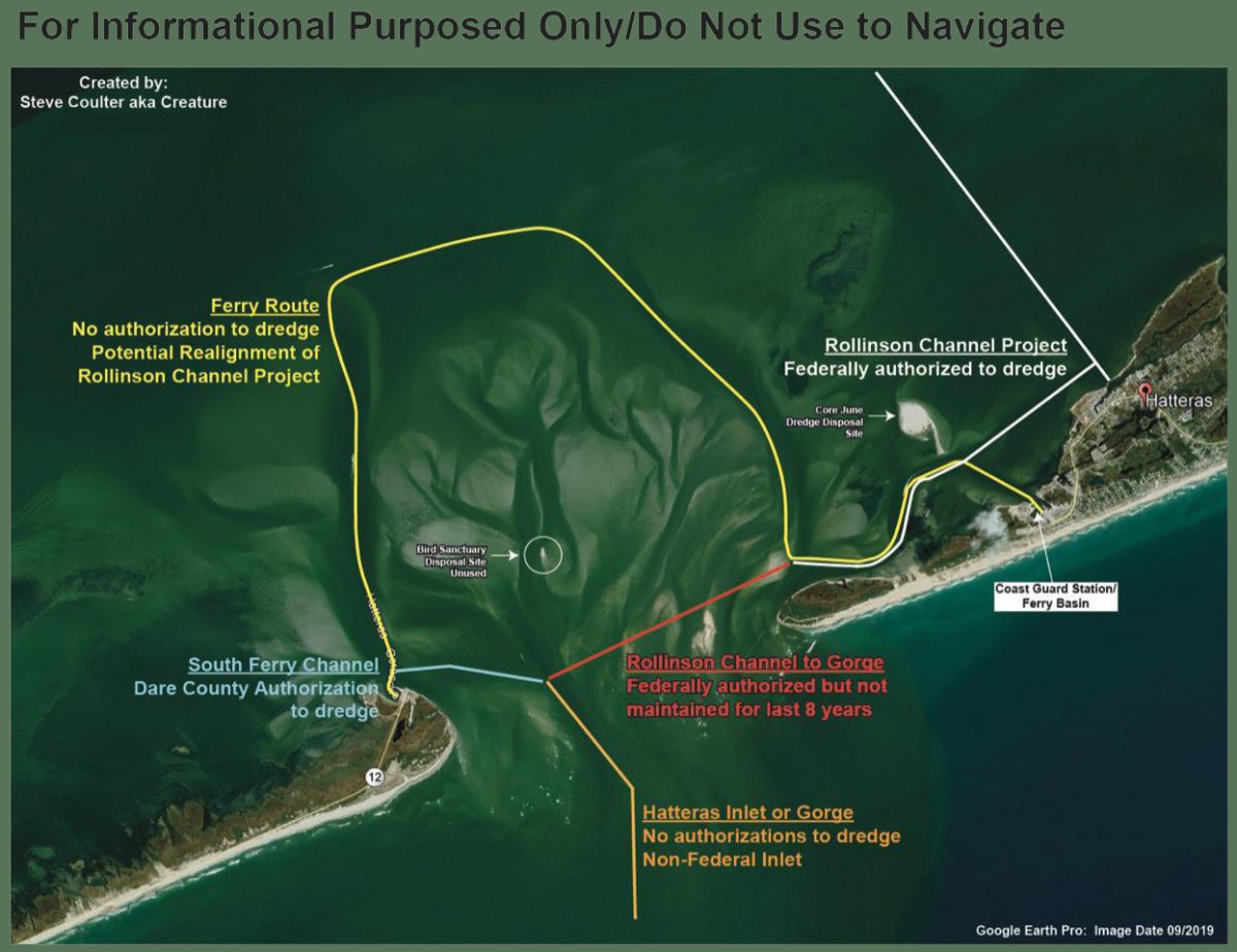
LNM: Numerous Buoys Relocated, near Hatteras Inlet, NC

CCGD5 BNM 492-20
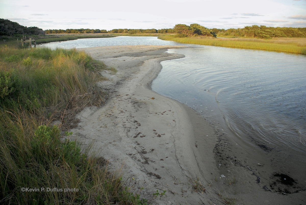
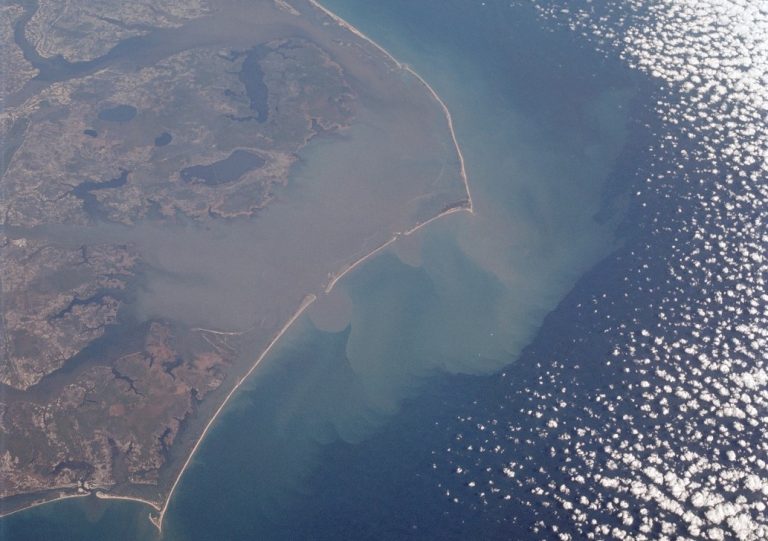
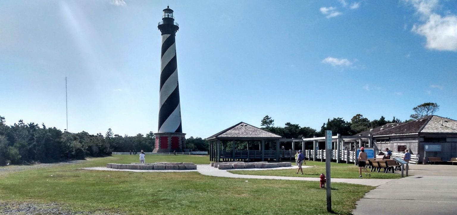
NC CAPE HATTERAS – HATTERAS INLET (CHART 11555)
1. THE FOLLOWING AID TO NAVIGATION HAS BEEN RELOCATED.
A. BARNEY SLOUGH CHANNEL BUOY 3A (LLNR 28721.6 [35°13.4891N / 075°47.2234W, 35.224819 / -75.787057]) HAS BEEN RELOCATED TO APPROX. POSITION 35-13.391N 075-47-14.176W (35°13.3910N / 075°47.2363W, 35.223183 / -75.787271)
CCGD5 BNM 493-20
NC CAPE HATTERAS – HATTERAS INLET (CHART 11555)
1. THE FOLLOWING AID TO NAVIGATION HAS BEEN RELOCATED.
A. HATTERAS INLET BUOY 12B (LLNR 28733.1 [35°12.2021N / 075°43.9067W, 35.203369 / -75.731778]) HAS BEEN RELOCATED TO APPROX. POSITION 35-12-11.824N, 075-43-55.492W (35°12.1970N / 075°43.9249W, 35.203284 / -75.732081)
CCGD5 BNM 491-20
NC CAPE HATTERAS – HATTERAS INLET (CHART 11555)
1. THE FOLLOWING AID TO NAVIGATION HAS BEEN RELOCATED.
A. HATTERAS INLET CHANNEL LIGHT 19A (LLNR 28765 [35°12.2594N / 075°43.2737W, 35.204323 / -75.721228].1) HAS BEEN RELOCATED TO APPROX. POSITION 35-12-22.182N, 075-43-15.216W (35°12.3697N / 075°43.2536W, 35.206162 / -75.720893) .
B. HATTERAS INLET CHANNEL LIGHTED BUOY 12A (LLNR 28732 [35°12.6338N / 075°43.9497W, 35.210563 / -75.732495].1) HAS BEEN RELOCATED TO APPROX. POSITION 35-12-19.060N, 075-43-54.971W (35°12.3176N / 075°43.9162W, 35.205294 / -75.731936) .
C. HATTERAS INLET CHANNEL LIGHT 19 (LLNR 28765 [35°12.2594N / 075°43.2737W, 35.204323 / -75.721228]) HAS BEEN RELOCATED TO APPROX. POSITION 35-12-14.587N, 075-43-16.377W (35°12.2431N / 075°43.2730W, 35.204052 / -75.721216) .
D. HATTERAS INLET CHANNEL LIGHTED BUOY 12 (LLNR 28732 [35°12.6338N / 075°43.9497W, 35.210563 / -75.732495]) HAS BEEN RELOCATED TO APPROX. POSITION 35-12-36.785N, 075-43-55.362W (35°12.6131N / 075°43.9227W, 35.210218 / -75.732045) .


Be the first to comment!