Coastal Happenings – North Carolina Coastal Federation
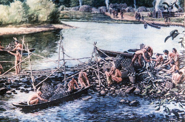
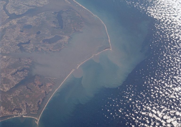
This year the Federation is celebrating working together for a healthy coast for the past 40 years.
| Dear friends of the coast, Welcome to 2022! Thanks to you we’re starting this year on a high note: we met our matching challenge for Recycle for Reefs! Your gifts in December put us over the top and we are thrilled to use $60,000 to support oyster shell recycling. Learn more about recycling here. As you may know by now, there’s another exciting way to support oyster restoration: Adopt an Oyster. The best time to adopt oysters, in our humble opinion, is right now – for Valentine’s Day! Visit the adoption page, here, to honor your loved one, snag one of our limited edition 40th anniversary oyster knives, enjoy a discount coupon for Locals Seafood and their ship anywhere oyster box, which could be a great date night idea! You can also upgrade your adoption and get a custom valentine. To share the love, adopt before February 9th! Stay safe and warm,
-Your friends at the North Carolina Coastal Federation |
|
|
|
 This year the Federation is celebrating working together for a healthy coast for the past 40 years. To honor this major milestone we created a video highlighting why we do what we do and how crucial it is that we have help from everyone as we work toward our goal of protecting and restoring the North Carolina coast. 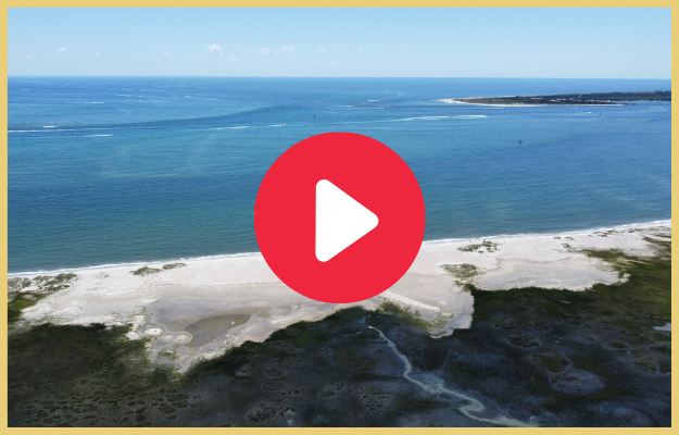
|
|
|
 Are you, or do you know, a graduating high school senior living in one of our 20 coastal counties who is dedicated to the coastal environment? There is still time to apply for the Coastal Stewardship Award! In the spring of 2022, we will be awarding three $1,000 awards to graduating high school seniors. Applications must be received by 11:59 pm on February 13th, 2022. The award decision will be announced on April 1st. To learn more, or to apply, click here. |
|
|
|
|
|
|

|
|


Be the first to comment!