KINGSLAND: FEBRUARY 6 & 7, 2026
ST. MARYS: FEBRUARY 15 & 17, 2026
Let the Good Times Roll in St. Marys and Kingsland with a free concert with a nationally recognized artist (Collin Raye played in 2025), pirates, a family day, and a nighttime illuminated parade and concert.
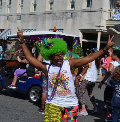
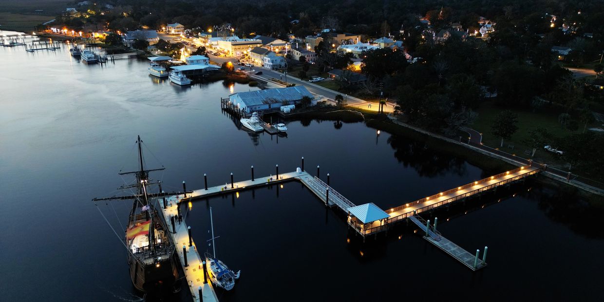
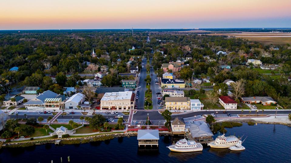
When you think of Mardi Gras, your mind might drift to the spirited streets of New Orleans, but there’s another area where the spirit of Mardi Gras comes alive in a uniquely Southern way—Camden County, Georgia. Less than an hour north of Jacksonville, Florida, situated along the scenic southeastern coast, Camden County is home to two charming cities, Kingsland and St. Marys, that are both pulling out all the stops to deliver a memorable Mardi Gras experience. Here, you’ll find lively parades and toe-tapping concerts alongside family-friendly festivities and dazzling evening events, so consider this your invitation to join in on the celebration.
Kingsland Kicks Off the Festivities February 6 & 7, 2026
The Mardi Gras magic commences in Kingsland, just fifteen minutes from downtown St. Marys, with the K-BAY Mardi Gras Festival. On Friday, the festival kicks off with live music from 6-10 PM setting the tone for a weekend filled with rhythm and revelry. Saturday then ramps up the excitement with a full day of activities beginning at 9 AM, including the Mardi Gras Parade at 10 AM, where the streets are filled with camaraderie and cheer. Post-parade, the festival grounds come alive with creative vendors, unique crafts, fantastic festival food, and free concerts. The evening culminates with a performance by a chart-topping music legend at 6 PM promising a night of unforgettable entertainment. For Kingsland parade applications, vendor inquiries, or more information, visit the K-BAY Festival website here or call 912-729-6000.
SUNDAY, FEBRUARY 15, 2026
St. Marys Takes Center Stage for Family-Friendly Fun with the St. Marys Mardi Gras Jubilee at the St. Marys Waterfront Park on Sunday, February 15, 2026.
The St. Marys Mardi Gras Jubilee, held from 1-4 PM at the St. Marys Waterfront Park (201 St. Marys Street, St. Marys, Georgia 31558; 912-882-4000), is designed to delight visitors of all ages. Kids will be in heaven with a Kids Court featuring a Lucky Ducks game, football toss, Mardi Gras mask making station, Connect Four, Wheel of Fortune, Plinko, and face painting. The St. Marys Pirates Buccaneer Fun Zone will host Chuck-a-Duck, “Reel” fishing, and Ring Around the Sword games and kids can learn how to talk like a pirate and get to walk the plank. Other activities include miniature golf putting greens and bounce houses and an interactive golf experience.
It will be a carnival-like atmosphere where laughter and joy are guaranteed. Meanwhile, parents can relax and enjoy a lively DJ who will keep the energy elevated throughout the afternoon. What is a Mardi Gras Jubilee without king cake? Indulge in this traditional treat alongside a variety of delicious meal and dessert food trucks. The waterfront setting creates a gorgeous backdrop to the festivities, making it the perfect spot to unwind and soak in the Mardi Gras spirit.
TUESDAY, FEBRUARY 17, 2026
Fat Tuesday Fest in downtown St. Marys.
Fast forward to Fat Tuesday where, as the sun sets, the celebration continues with Fat Tuesday Fest – an Illuminated Parade & Party in the Park on Tuesday, February 17th. The evening kicks off at 6:30 PM with an illuminated parade that will light up the streets of St. Marys. The parade will start at Church Street and end at the waterfront park. Following the parade, the party moves to the park for a 7:30 – 9PM concert. This is your night to glow, sparkle, and be flashy! For St. Marys parade applications, to vote for your favorite decorations, or more information, go to www.visitstmarys.com or call 912-882-4000.
A Citywide Celebration of Mardi Gras Magic
The Mardi Gras spirit isn’t confined to the events. In fact, it’s alive all-around town! St. Marys is hosting a citywide Mardi Gras window and porch decorating contest, encouraging residents and businesses to showcase their creativity and festive flair. Take a stroll through the charming streets and admire colorful displays that add to the celebratory atmosphere. Use the QR displayed in the window to vote for your favorite. More to come on this later!
Plan Your Mardi Gras Getaway to Camden County
Camden County, Georgia, is the ideal destination for a Mardi Gras celebration that combines tradition, family fun, and Southern hospitality. Whether you’re dancing to live music in Kingsland, reveling in waterfront festivities in St. Marys, or simply soaking in the jubilant decorations around town, you’ll find that this corner of Georgia knows how to throw a party.
Start planning your Mardi Gras getaway today and be sure to stay current on local events, accommodations, attractions by checking out www.visitstmarys.com Bring some beads so you’ll be ready to experience an authentic Camden County Mardi Gras. As the French say, Laissez les bons temps rouler—let the good times roll!


Be the first to comment!