Boating Etiquette 101: Docking, Fueling, and More! Dockwa
In boating, etiquette isn’t just about being polite but also about safety.
Boating Etiquette 101: |

In boating, etiquette isn’t just about being polite but also about safety. So you shouldn’t take it lightly, specifically if you’re new to boating. But, unfortunately, no one has written down these so-called rules–well, until now.
If you’re a first-timer simply asking another friend that boats is unreliable as every boater is different, and some might play by their own rules. In this case, it’s best to trust us, the experts.
Below you’ll find some boating etiquette basics, from the “rules of the road” to docking and dock manners, fueling, and more, plus other helpful blogs so you can avoid being THAT boater everyone loves to hate. |
Ramps and Trailer Etiquette
If you’re using a trailer, there are a few things you need to know before hitting the road, like checking your trailer lights and brakes before heading to the ramp. You don’t want to be the boater who has to call a tow! |
 |
 |
Fueling
If you’re running low on fuel, it’s time to head to the gas dock. When refueling your boat, there are several things to keep in mind. For example, NEVER leave your boat unattended while fueling! |
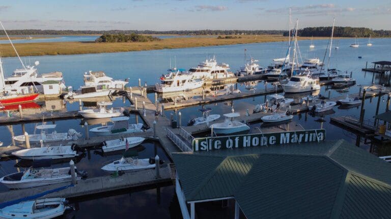
Docking and Dock Manners
If you’re new to boating, docking can be one of the most daunting tasks, especially if you’re trying to dock in a crowded marina. But, don’t worry; with a bit of practice (and patience), you’ll be docking like a pro in no time! Our best advice is to remain calm. |
 |
For more helpful tips and advice for your VHF radio conduct, anchoring, respecting your neighbors, your guests, and pets, and keeping the waters green, check out our full article below!
These rules help keep the waterways clean and friendly, making boating a more pleasant experience for everyone. The guidelines also help ensure safety while boating. In addition, boaters familiar with and adhering to boating etiquette will have a fun, trouble-free time out on the water! |
Dockwa, PO Box 179, Freeport, ME 04032, USA janelle .cox@dockwa.com |


 We’re excited to introduce you to our friends at
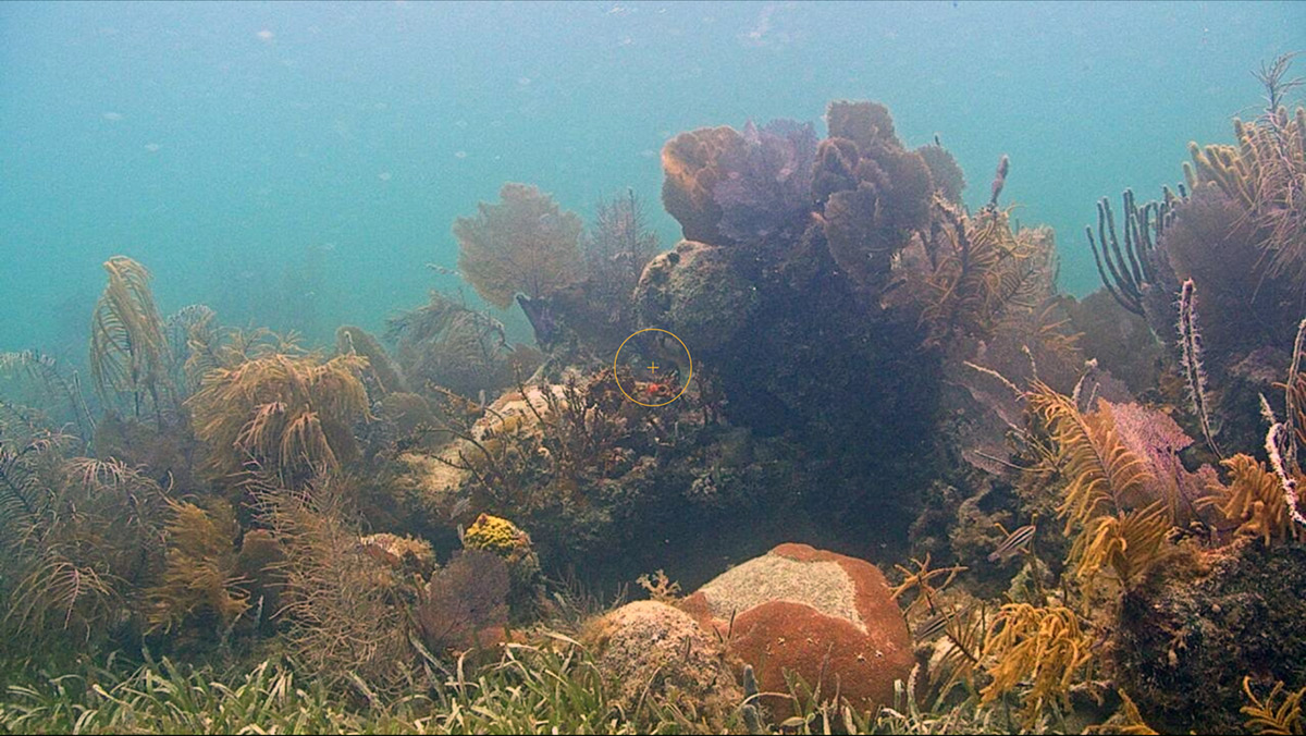
 Thank you to everyone who has adopted a sea turtle nest this summer!


Be the first to comment!