LNM: AIWW MM:400.3, Little River-Winyah Bay Daybeacon 91 Missing
SAFETY/LITTLE RIVER – WINYAH BAY/ATON/SEC CHS BNM 0066-26
1. LITTLE RIVER-WINYAH BAY DAYBEACON 91(LLNR 34040) IS REPORTED TO HAVE A DAYBOARD MISSING. ALL MARINERS ARE REQUESTED TO TRANSIT THE AREA WITH CAUTION. BT
For more Coast Guard news, visit our online newsroom here.
SUBSCRIBER SERVICES:
Privacy Policy | GovDelivery is providing this information on behalf of U.S. Department of Homeland Security, and may not use the information for any other purposes. This email was sent to curtis.hoff@CruisersNet.net
| ||||||||||||||


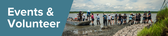 ACE Basin Property Tour (Edisto Island) | Friday, March 6th, 9 AM – 12 PM | Join SCDNR staff on a tour of the ACE Basin to explore the cultural and natural resources found within Botany Bay Heritage Preserve and Wildlife Management Area.


Be the first to comment!