Praise for Windmill Harbour Marina, Hilton Head Island, SC AICW MM 558
Our thanks to Ted Arisaka for this firsthand report during Hurricane Idalia.

Click Here To Open A Chart View Window, Zoomed To the Location of Windmill Harbour Marina
Our thanks to Ted Arisaka for this firsthand report during Hurricane Idalia.
Click Here To Open A Chart View Window, Zoomed To the Location of Windmill Harbour Marina

Our thanks to Anne Bowen of Fort Pierce City Marina, A CRUISERS NET SPONSOR, for sending us this very interesting article.

Click here for St Lucie County Artificial Reef Program
coastalanglermag.com
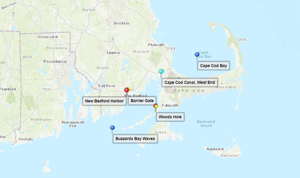
Click Here To Open A Chart View Window, Zoomed To the Location of Fort Pierce City Marina
|
Even with these maintenance closures, the marina will remain available to boaters, just no services at the bar, dining, and cottage rental.

The SCYC cottages, restaurant, and bar will be closed for annual maintenance from September 17th – October 1st, 2023. They will re-open on October 2nd, 2023.
South Carolina is currently one of only four US states with no boater education requirements. The new bill will add South Carolina to the majority of states that require boating safety courses for some or all boaters.
Click here for New South Carolina Boating Law Strengthens Safety Requirements
Steinberg Law Firm
As the article points out, South Carolina is one of only 4 states that did not have a similar training requirement. Whether the boater training is actually adequate or not is open for discussion. IMHO, in person classes done by the Power Squadron or USCG Auxiliary are probably pretty good – the states that only require on-line computer classes that comply with the content standard not so much.
I lived in the Midwest until the mid-90's. My state already had a law back then. And like the South Carolina law, the requirement is for everyone whose birthday is prior to a certain date. Anyone younger than about 45 from my former home has to have had the training by now, or to get it if they acquire a boat.
Since most fatal boat accidents involve excess alcohol, I suspect that you are right that younger boaters in their 20's and 30's are probably involved in a disproportionate share of accidents. Rigorous enforcement of BWI laws would probably have a larger impact on safety than training of young people, but that doesn't make the training requirement a bad idea.
BTW, the USCG publishes statistical data on boating accidents and events like boat fires every year. Look on the Coast Guard website if you want to find it.
As a follow up on my comment last month how about a breakdown on boating accidents by age responsible?
Without that data, we're just blowing smoke and can't be sure we're actually addressing the problem.
Anyone?
I would like to see some STATISTICS on boating accidents/fatalities from states that have these laws and those that don't. And do these laws make a difference? 16 years old or younger? Like driving a car, I suspect many if not most boating accidents are caused by older teenagers and those in their 20s.
Vibrio is a vicious, flesh-eating bacteria that can kill within 48 hours of exposure to warm, brackish water.

Original locations of the 709 confirmed nonfoodborne V. vulnificus infections reported to the Cholera and Other Vibrio Illness Surveillance, or COVIS, database between 2007 and 2018 within 125 miles of the coast, in blue. Graphic: “Climate warming and increasing Vibrio vulnificus infections in North America” report
Click here for Scientist urges more Vibrio awareness as risk moves north
CoastalReview.org
The South Carolina barrier island just 30 minutes from Charleston may just be the area’s best-kept secret and, of course, is home to CRUISERS NET SPONSOR, Isle of Palms Marina.
Cruisers Net was advised this morning that the “Ships Store” at Isle of Palms marina is fully open and available to all. Fully operational. Boaters are invited to visit IOP and enjoy all the amenities.
Click Here To View the South Carolina Cruisers Net Marina Directory Listing For Isle of Palms Marina
Click Here To Open A Chart View Window Zoomed To the Location of Isle of Palms Marina
There are a litany of good reasons to travel with other vessels, but due diligence is required to have realistic expectations.
Click here for Buddy Boating by Bob Arrington from Passagemaker, September, 2023

Key Lime Sailing Club, A CRUISERS NET SPONSOR, always has very special offers for their visitors! Key Lime Sailing Club is a unique slice of KEYS ENJOYMENT…give it a try and let us hear about your experience.
| |||||||||||||||||||||||||||||||||||||||


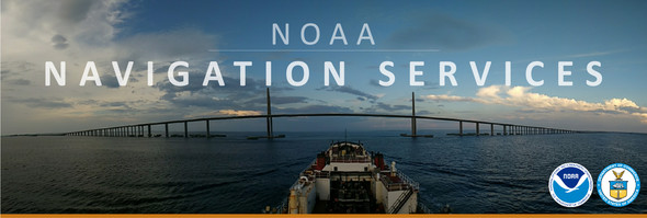
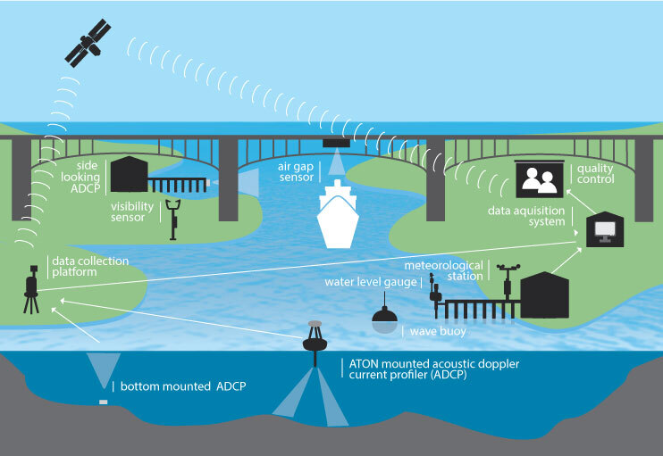
 Earlier this year, NOAA’s Office of Coast Survey released

 Maybe it does get better. Stay at our base camp, Key Lime Sailing Club and Cottages while taking the class(es) and receive 25% OFF your cottage too!


Be the first to comment!