Don’t Make Your Boat Look Like a Christmas Tree – BoatUS
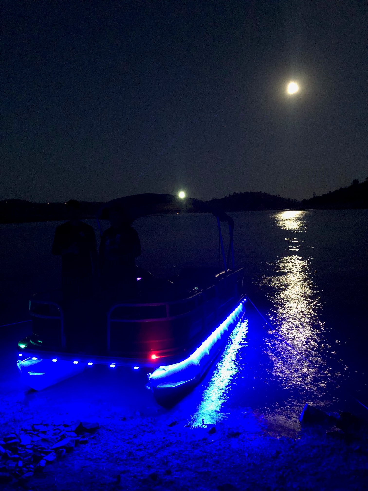
Photo Caption: Decorative lights can present navigation challenges for other boaters. BoatUS offers two installation tips. Credit: Shannon Carrithers
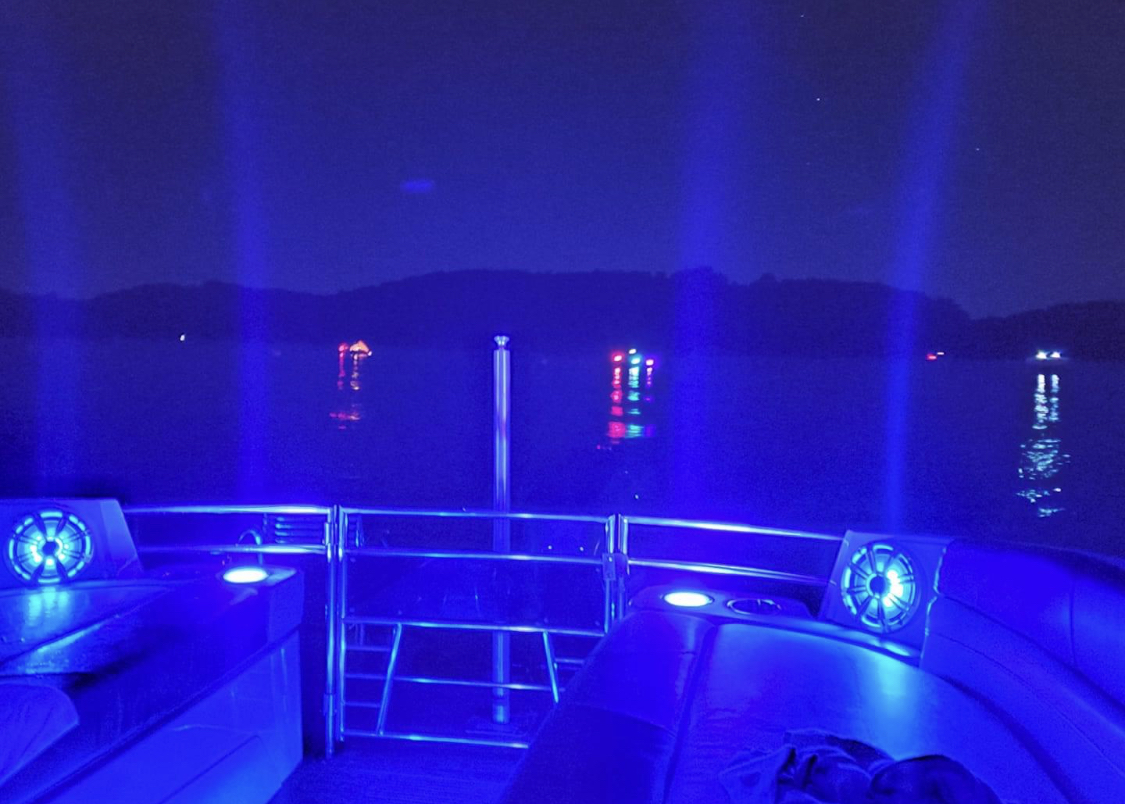
Photo Caption: Decorative lights can negatively affect a boat operator’s night vision. Credit: Rodney Webster
Don’t Make Your Boat Look Like a Christmas Tree
BoatUS advises boaters about unsafe decorative lighting when navigating
SPRINGFIELD, Va., Nov. 18, 2020 – Boaters looking to buy themselves a Christmas gift may be thinking about adding some “bling” to the boat – multicolored decorative LED deck and space lighting. Just don’t light your boat up like a Christmas tree, says the BoatUS Foundation for Boating Safety and Clean Water. Extra lights installed in the wrong place could cause other boaters to misinterpret your boat’s navigation lights and present a safety hazard.
“Today’s decorative lighting options, from ropes to underwater lighting, allow DIYers to personalize their boats,” said BoatUS Foundation for Boating Safety and Clean Water President Chris Edmonston. “The challenge comes when the boat is underway. Decorative lights installed in the wrong location may cause others to misinterpret your vessel’s red, green and white navigation lighting. Bright lights of many colors can also reduce your night vision and hamper your ability to safely navigate.”
The BoatUS Foundation has two tips when shopping for and installing decorative boat lights:
1. When underway, avoid displaying any light that could be confused as a navigation light or another type of vessel. When installing decorative LED lighting, running wiring to a single master switch allows you to easily turn off all nonessential lights before heading out. Remember, flashing blue lights are reserved for law enforcement – at a distance, wave action combined with the steady rocking of high-intensity blue lights below the waterline can give the appearance of a police vessel.
2. Don’t install decorative lights that prevent the operator from maintaining a good lookout. When running between sunset and sunrise, it’s critical that those behind the wheel maintain their night vision, so the number-one goal is to keep light out of the operator’s eyes. Glare from aesthetic lighting such as LED rope lights wrapped around a helm station can hinder night vision.


Be the first to comment!