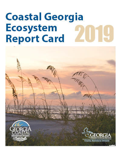
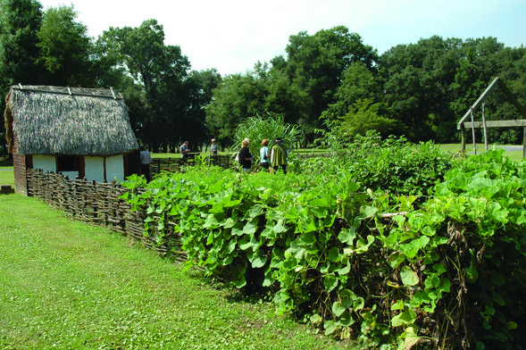
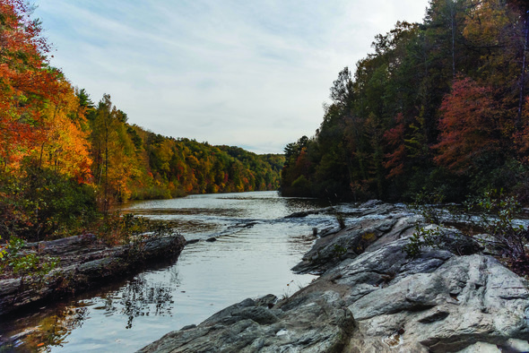
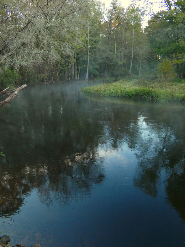
Water News You Can Use
April is Water Conservation Month. This month is traditionally one of the driest of the year and marks the peak demand season for public water suppliers.
|
April is Water Conservation Month. This month is traditionally one of the driest of the year and marks the peak demand season for public water suppliers.
|
This is the economy way to cruise. No obstructed view! Thank you Heather.
This long overdue dredging is very welcome, because the channel through this Problem Stretch seems to shift with each tide and, until the dredging proves otherwise, Cruisers Net still recommends mid to high tide passage.
Below is a link to information about the dredging of Jekyll Creek off Jekyll Island set to begin April 10 (date revised March 11, 2019). Crews will arrive Monday for staging. This has been a long time in the making. Jekyll Creek is one of the most shallow points in the Atlantic Intracoastal Waterway in Georgia and has not been dredged since 1998.
Additionally, the U.S. Army Corps of Engineers will be using two new techniques to manage dredge sediments. You can read all about it in the link below. Please don’t hesitate if you have questions. I’m also working on putting a short video together about this with some drone footage showing the locations referenced on the website. I expect to have that available tomorrow for TV stations and anyone else who’d like it.
You can read all about it here: www.coastalGADNR.org/JekyllCreek
Tyler Jones
Communications Specialist
Coastal Resources Division
(912) 262-3140 | M: (912) 230-9709
Follow us on Facebook
Buy a fishing license today!
Click here to sign up for CRD news delivered to your inbox
—————————————————
A division of the
GEORGIA DEPARTMENT OF NATURAL RESOURCES
3/12/19 Jekyll Creek dredging pilot project set for April
Brunswick News
GEORGIA
Dredging in Jekyll Creek begins this month
News4Jax
Jekyll Creek Dredging Information Video
Dredging in Jekyll Creek begins this month
WJXT News4JAX
Big dredging project underway in Jekyll Creek
WJXT News4JAX
Click Here To View the Cruisers’ Net’s “AICW Problem Stretches” Listing For Jekyll Creek
Click Here To Open A Chart View Window, Zoomed To This AICW Problem Stretch
AREA SPONSORING MARINA
Click Here To View the Cruisers Net Georgia Marina Directory Listing For Jekyll Harbor Marina
Click Here To Open A Chart View Window, Zoomed To the Location of Jekyll Harbor Marina
Belhaven, A CRUISERS NET SPONSOR, sits on the northern shore of Pantego Creek which meets the western shoulder of the Waterway at Mile 135 south of the Alligator River – Pungo River Canal. Our thanks to Doug and Lynne and Be and Brenda for these kind words as posted on AGLCA’s Forum.
If you get a chance to stop at Belhaven, be sure and eat at Spoon River Art and Market, half a block from both marinas. Wow! What an Easter brunch! Best meal on trip and they are recently open from hurricane. We say, worth the stop to eat there. Not open on Tuesday.
Doug and Lynne
DougOut
490 Meridian Pilothouse
Agree. But don’t overlook The Tavern at Jack’s Neck across the street. Just as good. and for lunch the Fish Hooks Cafe is good. We’re biased because it’s our hailing port.
Be and Brenda Sanderson
M/V ‘Last Chance’
44′ Valor Marine
Click Here To View the North Carolina Cruisers Net Marina Directory Listing For Belhaven Town Dock
The waterway south of McClellanville all the way to the Ben Sawyer Bridge has been shoaling for years and Cruisers Net still recommends mid to high tide for passage through this section. Our thanks to Tom Hale for this report posted on AGLCA’s Forum. See Bill Reynolds for another report from October 2018.
Shallow waters ICW Markers 40-35 near McClellanville
The section of the ICW called the “South of McClellanville” section is one of the longest and shallowest trouble spots on the ICW. While there are some places with 8-10 feet of water, there are also stretches with less than 5 feet of water at MLLW. If you drift out of the “channel” you will find water less than 3 feet. So, what defines the channel? How do you find it?
We transited this section for the eleventh time on March 31, 2019. We are using 4 navigation products. We have NOAA charts on Coastal Explorer as our primary navigation system, a Navionics chart chip in our chart plotter, and two iPad navigation apps, Navionics and Aqua Map. The NOAA chart 11518 is of almost no help through here: it lacks any depths and does not indicate the edge of the channel. It can’t: the channel has shifted since last NOAA surveys. You will however, have almost seven feet of tide here, so if you draw more than 4.5 feet you should wait for a rising tide before entering this piece of water. This stretch will require that you have a bit of tidal help.
For more details and screen shots of the navigation apps please follow this link. https://www.sailfeed.com/2019/04/comparing-aqua-map-master-navionics-sonar-charts-navigating-icw-charleston-mccellanville-sc/
Tom Hale
Tadhana
Helmsman 38
Click Here To View the Cruisers Net’s AICW Problem Stretches Listing For South of McClellanville
Click Here To Open A Chart View Window, Zoomed To The Northern Portion of This AICW Problem Stretch
Does anybody know the progress of the dredging of the shallow stretch just south of mcclellanville sc
By law, amateur ham radio users are prohibited from using ham radio for commercial purposes. The FCC has been petitioned by a ham radio user to allow 3rd party monitoring to intercept commercial messages. The requested ruling is from this single individual and not from the FCC. Click below by the petition to the FCC by Ron Kolarik. There is an opportunity on the FCC webpage to comment of the petition.
Click here for PETITION FOR RULEMAKING
Click here for FCC
The Charleston City Boatyard, a subsidiary of Charleston City Marina, A CRUISERS NET SPONSOR, is found on the northern reaches of the Wando River north of red marker #40. Also see Free Bottom Paint Offer.
| |||||||||||||||||||||||||
| |||||||||||||||||||||||||
|
Click Here To Open A Chart View Window, Zoomed To the Location of Charleston City Boatyard
Click Here To Open A Chart View Window, Zoomed To the Location of Charleston City Marina
These observations and good advice come from Robert Sherer on his blog, Bob423. Thank you Robert!
I was asked this morning via an email about using routes and tracks. I thought the reply may be of general interest so I’ll repeat it here.
———————————
I use Aqua Map on an iPad at the helm. I do have an old chartplotter but I use the iPad with Aqua Map for navigation. I have two types of files for downloading: routes and tracks.
Routes are for shallow sections of the ICW. I maintain them as conditions change through the year so they remain current. There are about two dozen routes reflecting the many shallow sections of the ICW. They are in GPX format which is accepted by Aqua Map and many other apps (except Navionics).
Tracks are my path down the ICW in the fall. They are good at the time I recorded them and the date of the track is in the track name. They are not updated like routes are so their accuracy may degrade with time as the ICW changes. I will be adding new tracks this spring. They are available in both gpx and kmz format. Starting this spring, the kmz format will show the depth I saw at any point on the track with a tap.
Both tracks and routes can be downloaded at
http://bobicw.blogspot.com/
Aqua Map Marine will run on either an Apple or Android device. Just be sure to get a device with a gps chip which is required for navigation. All phones have one but for Apple products, only cellular capable iPads have the chip.
A cellular contract is not required to use the gps chip but a cellular capable iPad is required. Many Android tablets come with the gps chip by default, you have to look at the specs. All tablets and phones are WiFi capable but WiFi is not needed while used for navigation at the helm, Aqua Map charts are stored on the tablet.
You can use your phone’s hotspot for a WiFi signal but the gps positioning data is not transferred to the iPad. You can actually navigate with your phone but the screen is kind of small, that’s why I have an iPad.
And this link to his Tracks and Routes https://bobicw.blogspot.com/? |
Our thanks to Tom Hale for his insight on this troublesome area south of Fernandina. See NAV ALERT of April 14th.
For some reason the section between STM 717 and STM 719 is confusing to some. It needn’t be.
Northbound after exiting Kinglsey creek you are in the Amelia River. Stay to the east side past R2. The charts show the deepest water on the lower east side. I have used the upper west side at the G2 bend of the river for about 5 years, as the water is deeper along the western shore The eastern channel has at least 8 feet of water at MLLW. The western channel has 12+ at MLLW . This is one place you do not want to follow the NOAA magenta line. It takes you right across the shoal in the middle of the river. At the northern end of either channel you will turn sharply to the east. At this point there are two green ATONs G1 and G1A. As of t4/15/2019, up to date NOAA chart show both G1 and G1A, a steel pole driven firmly into the river bottom with green day boards. As you turn the corner you must follow the south bank of the river. Stay away from R18,16 and 14 as they are marking a shoal. Both the sonar charts and USACE surveys show this south side of the river as the preferred route. Stay along the shore until you are past the paper mill. Then head towards Fernandina Beach Marina.
Southbound is equally simple. Pass Fernandina Beach Marina and then hug the east and south shores past the paper mill. Head west past G1 and G1A to the western side of the river and turn south along the western shore. The attached Sonar Charts give a clear picture of the route. The USACE survey only covers the section north of G1.
Tom Hale
Here is a chance to hear about, and maybe voice your opinion on, issues related to the Gulf Coast waterways. The Sidney and Berne Davis Art Center is at 2310 First St, Fort Myers. See River District Connections April Calendar.
SAVE THE DATE
Fort Myers River District Alliance Townhall Meeting
Wednesday, May 8, 2019 * 4:30 – 6 p.m.
Sidney & Berne Davis Art Center
Speakers:
Fort Myers Councilman Kevin Anderson, Ward 4
Fort Myers City Manager Saeed Kazemi
RDA President & CEO Lisa Sbuttoni
More information to follow……
Lisa Sbuttoni lsbuttoni@rdafortmyers.com
Lisa Sbuttoni
President & CEO
River District Alliance
Fort Myers, Florida
www.fortmyersriverdistrictalliance.com
Respectfully,
Tracy L. Hayden
T: 239.337.1071 – F: 239.337.1076
Be the first to comment!