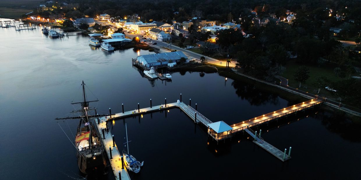
St. Simons Island Overnight & Transient Dockage

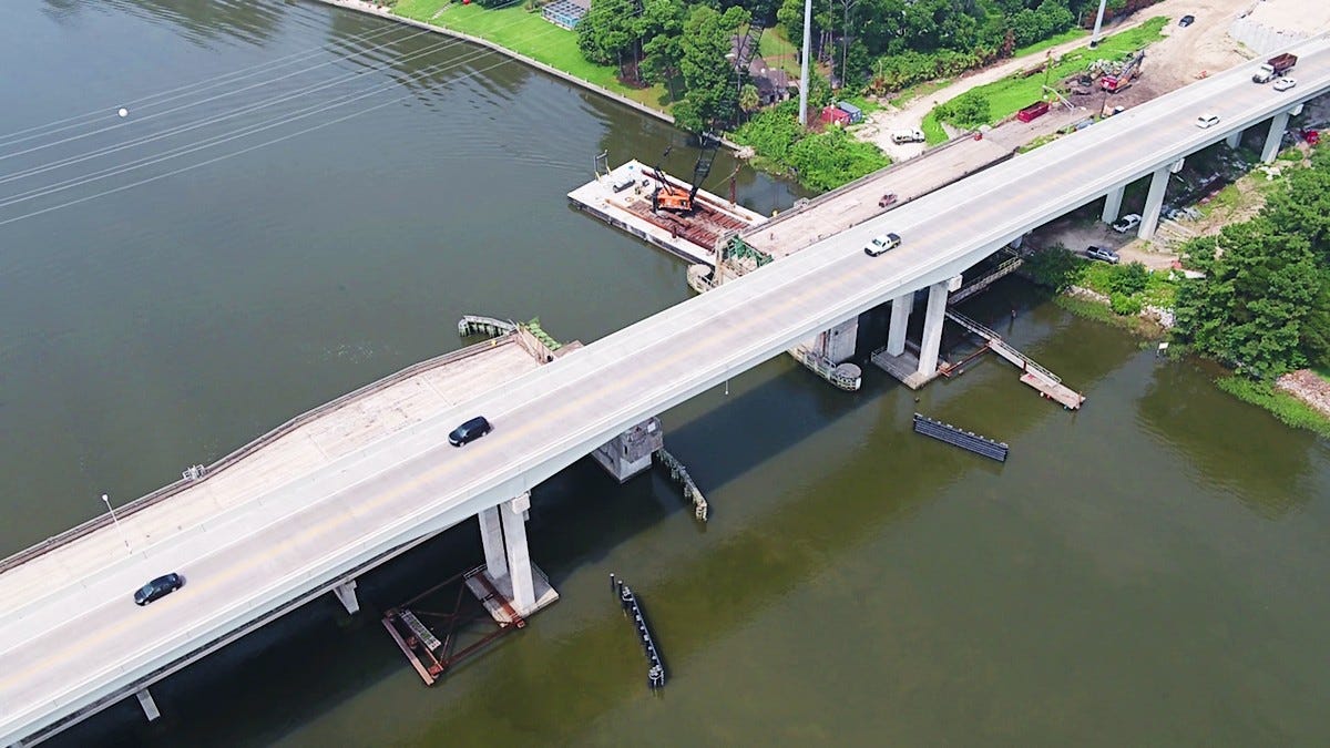
Morningstar Marina at Golden Isles, A CRUISERS NET SPONSOR, lies along the southern reaches of the Frederica River, between Lanier and St. Simons Islands, south of the charted 9 foot bridge.
St. Simons Island Overnight & Transient Dockage
Located on St. Simons Island, GA Morningstar Marina Golden Isles is right off the ICW Marker 675 with easy access to the ocean. The Frederica River provides no vertical obstructions, and we are a deep craft marina, making us a welcome stop for yachts and sailboats for overnight & transient dockage. Our Golden Isles location is home to highly trained dock masters who pair their extensive training and knowledge with superior service, delivering exceptional experiences that go beyond the norm. The overnight & transient dockage facilities for boats at Golden Isles have been designed to serve the specialized needs of today’s boaters offering 1,100 linear feet of transient dock with high-speed fuel pumps, in-slip pump out, free On Spot Wi-Fi, and 30/50/100-amp shore power service. Additional amenities include secure bathroom and shower facilities, laundry facilities, a fully stocked marina ship store, courtesy bicycles and vehicle, a swimming pool, with an onsite restaurant and coffee shop. Beyond the marina facilities, we are two miles away from St. Simons Island and the Golden Isles where you can enjoy the beaches, historic sites, golf, tennis, shopping, and amazing dining. Please submit a request by filling out the form below.

Click Here To Open A Chart View Window Zoomed To the Location of Golden Isles Marina


 Three important players in Georgia’s marine fishery management are the Georgia Department of Natural Resources’ Coastal Resources Division (CRD), the South Atlantic Fishery Management Council (SAFMC), and the Atlantic States Marine Fisheries Commission (ASMFC).
 Key findings revealed a concerning trend: red drum in Georgia’s waters are both overfished (not enough fish in the population to reproduce at sustainable levels) and experiencing overfishing (too many fish being caught).


Be the first to comment!