Wine Down Wednesday is Back in March! Charleston County Parks and Recreation, Charleston, SC
[WEST ASHLEY] – Charleston County Parks is excited to bring back a spring full of Wine Down Wednesdays at Old Towne Creek County Park! Take a much-needed “hump day” break and enjoy Wine Down Wednesday on March 16, March 30, April 13 and April 27 from 5:30 – 7:30 p.m.
Wine Down Wednesday is a family friendly event where guests can enjoy live music while exploring this unique county park off Old Towne Road in West Ashley. Admission fees also cover wine and a commemorative wine glass. At each event, two food trucks will also be on site with items available for purchase.
The Spring 2022 Wine Down Wednesday music and food lineup is:
Admission for Wine Down Wednesday is $20 per person in advance, and $25 the day of the event.
Guests are encouraged to bring their own chairs, tables and blankets. Dogs are welcome, but must remain on a leash at all times. If an event is canceled by Charleston County Parks, a refund will be provided. Outside alcohol is prohibited. Outside food is allowed.
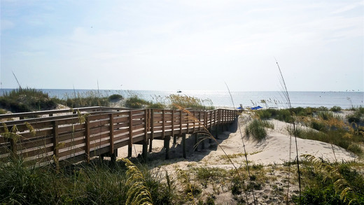
Old Towne Creek County Park is located in West Ashley off Old Towne Road and is open for special events only. Wine Down Wednesday is a great opportunity for the public to be able to explore and enjoy this site. Old Towne Creek features 67 acres of beautiful open fields complemented by groves of live oak trees. The park will undergo construction later in 2022.
For more information on Wine Down Wednesday, or to register for this event, visit CharlestonCountyParks.com. This event is brought to you by your Charleston County Parks.
Owned by the Charleston County Park and Recreation Commission (CCPRC) and only open currently for special events, Old Towne Creek County Park is located at 1400 Old Towne Road, Charleston, SC 29407. The mission of CCPRC is to improve the quality of life in Charleston County by offering a diverse system of park facilities, programs and services. The large park system features over 11,000 acres of property and includes six regional parks, a skate park, three beach parks, four seasonally-lifeguarded beach areas, three dog parks, two landmark fishing piers, three waterparks, 19 boat landings, a climbing wall, a challenge course, an interpretive center, a historic plantation site, an equestrian center, cottages, a campground, a marina, as well as wedding, meeting and event facilities. The park system also offers a wide variety of recreational services – festivals, camps, classes, programs, and more. For more information on CCPRC, call 843-795-4386, or visit CharlestonCountyParks.com.
Images courtesy Charleston County Parks. High-resolution photos available upon request
Charleston County Park & Recreation Commission / 861 Riverland Drive / Charleston, SC 29412 / (843) 795-4386
| | | | | | Public Information Coordinator | | | Charleston County Park & Recreation Commission | | | | 861 Riverland Dr | , | Charleston | , | SC | | 29412 |
| | | | | | |
|
|

 Sarah Reynolds
 by Sam Helmy


Be the first to comment!