 Escape to Paradise this Easter |
|
Happy Easter from all of us at Key Lime Sailing Club and Cottages!   Are you ready to escape to the sunny Florida Keys for an unforgettable vacation? Dive into adventure, relaxation, and tropical vibes as you soak up the warmth and charm of our beautiful location. Whether you’re seeking water activities, tropical exploration, or simply unwinding by the shore, we’ve got you covered. Picture yourself savoring the sunsets, feeling the gentle breeze on your face, and creating memories to last a lifetime. Find out why we consistently receive 5-star reviews and welcome numerous repeat guests year after year. Join the ranks of those who have experienced the magic of Key Lime Sailing Club and Cottages firsthand! |
|
Available Cottages and Dates |
|
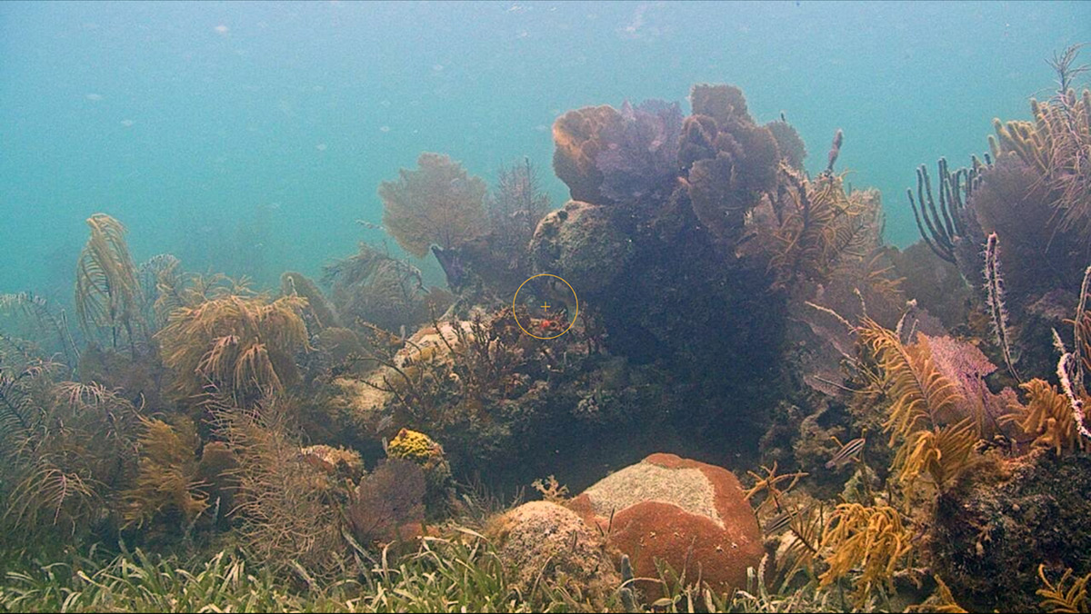
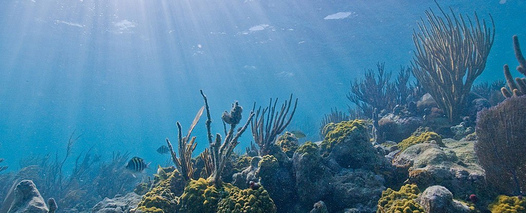
We also have 2 night availability for our Captain and Dolphin cottages this Easter Weekend (March 30th to April 1st). When you book one of our cottages, you get more than just a great escape. You also get free access to water amenities. If you’re a qualified sailor, you can use a 22′ sailboat. You can also take a relaxing kayak ride, paddleboard on the bay side calm waters, or explore the clear waters with our snorkel gear. This is what the Florida Keys are all about, and it is why guests keep coming back to Key Lime Sailing Club and Cottages. It’s a hidden gem that captures the true spirit of the Florida Keys, just like in Jimmy Buffet’s songs and Hemingway’s stories. Plus, if you’re interested in learning to sail, we have a sailing school right on-site. The American Sailing Academy offers a 2-hour Introduction to Sailing, a 2-hour refresher (for those with experience but needing a little refresher), and ASA beginner and advanced certified classes. |
|
You can learn to sail in just 2 days with our in-house sailing endorsement class (non-certification). When you pass the endorsement class, you would have the use of one of our 22′ Catalina sailboats for FREE during the rest of your stay. (Non-guests can rent a sailboat for $300 a day but it’s free for our qualified sailor guests staying at Key Lime Sailing Club and Cottages.) For more information on the sailing classes, call Capt. g at 305 896 5555, or send an email to captg@keylimesailing.com. And that’s not all! We’ve got more in store for you such as sailing excursions* which include captivating sunset cruises, immersive kayaking tours, and exhilarating snorkel adventures. Departing from the KLSC docks, these fantastic outings are easily accessible to all our guests. Don’t miss out on these extraordinary sailing excursions; they’re the key to creating unforgettable memories. *Booked through Morning Star Charters and guests staying at KLSC receive a 10% discount. |
|
Announcement Regarding Our KLSC T-shirts for Sale |
|
To our recent guests. We are reaching out to address a matter regarding the KLSC T-shirts that a very few may have purchased during your visit. It has come to our attention that there may have been an issue with these T-shirts. After washing, we discovered that the logo printing on some of the shirts has come off, and we think that some of you may have experienced this as well. We sincerely apologize for any inconvenience this may have caused. Your satisfaction is of utmost importance to us! If you are one of the guests who purchased these T-shirts, please accept our deepest apologies, and kindly provide us with the following information: - Your name
- Date of stay
- Number of T-shirts purchased
- Sizes of T-shirts
- Mailing address for replacement delivery
We are committed to rectifying this situation promptly. Rest assured, we have taken measures to prevent such issues from occurring in the future. Please reply directly to Jen at klsckeylargo@aol.com with the requested information, and we will be sending you replacements as soon as possible. Once again, we apologize for any inconvenience caused and appreciate your understanding and cooperation. We value your continued support and patronage of Key Lime Sailing Club and Cottages. |
|
Upcoming Florida Keys Events |
|
Apr 18, 2024 – Apr 28, 2024 – Key Largo |
|
Get ready to embark on the ultimate musical getaway with Jimmy Buffett’s “Escape to Margaritaville”! Featuring the iconic tunes like “Cheeseburger in Paradise,” “Margaritaville,” “It’s Five O’Clock Somewhere,” “Fins,” “Volcano,” and more, this hilarious and heartwarming musical is the party you’ve been dreaming of. Join us for show dates on April 18, 19, and 20, as well as 25, 26, and 27, all at 7 p.m., with a special 2 p.m. Sunday matinee on April 28. Performances will be held at the Murray Nelson Government Center, MM 102 bayside. Don’t miss your chance to escape to Margaritaville – visit their website for more info and grab your tickets now for an unforgettable journey! |
|
42nd Annual Conch Republic Independence Celebration Apr 19, 2024 – Apr 28, 2024 – Key West |
|
Join us for the ultimate 10-day celebration at the 42nd Annual Conch Republic Independence Celebration in Key West! From April 19, 2024, to April 28, 2024, experience the iconic Conch Shell Blowing Contest and Drag Races on Duval, the majestic Naval Parade in Key West Harbor, and the historic Schooner Wharf Wreckers Race Series. This event promises non-stop fun for all ages, with pirates, admirals, and island royalty coming together for an unforgettable celebration of freedom and independence. Don’t miss out on the chance to experience why “We Seceded… Where Others Failed.” For more information and event details, visit their official website and get ready to be a part of 42 years of FUN-Dependence at sea! |
|
28th Annual Key West Songwriters Festival May 1, 2024 – May 5, 2024 – Key West |
|
Join us for the ultimate 10-day celebration at the 42nd Annual Conch Republic Independence Celebration in Key West! From April 19, 2024, to April 28, 2024, experience the iconic Conch Shell Blowing Contest and Drag Races on Duval, the majestic Naval Parade in Key West Harbor, and the historic Schooner Wharf Wreckers Race Series. This event promises non-stop fun for all ages, with pirates, admirals, and island royalty coming together for an unforgettable celebration of freedom and independence. Don’t miss out on the chance to experience why “We Seceded… Where Others Failed.” For more information and event details, visit their official website and get ready to be a part of 42 years of FUN-Dependence at sea! |
|
Win Stays at Key Lime Sailing Club |
|
To our past and present guests: Here’s a chance to come back and vacation at KLSC for free! Send us pictures of your stay here and win a free 3-night stay by participating in our 14th Annual KLSC Photo Contest. Check here for details. Got a talent for video making? Enter our 11 th Annual KLSC Video Contest and get a chance to win a free 5-night stay! Check here for details. We at Key Largo Cottages at Key Lime Sailing Club love our guests and we would love to see you back again for another fun-filled and relaxing Florida Keys vacation! Thank you and see y’all in the Florida Keys! Follow Key Lime Sailing Club and Cottages on Social Media: Enjoy a Snorkel or Sunset Cruise both bay side and ocean side as well as sailboat rentals from 22 foot to 40 foot through Morning Star Sailing Charters. Call us at 305-451-7057. |
|
|
|
|
|
|


 Maybe it does get better. Stay at our base camp, Key Lime Sailing Club and Cottages while taking the class(es) and receive 25% OFF your cottage too!


Be the first to comment!