February OBX Park News: Seeking Freedom on Roanoke Island, Meet Your Ranger, Partner Spotlight, and more!
|
|
Morehead City is in the center of coastal Cataret County, NC.

In our county history series: Colonial beginnings, Civil War battles, maritime industry, fishing, tourism and coastal living among Carteret’s numerous draws.
Click here for Carteret County’s history, amenities have long lured
CoastalReview.org
Guest commentary: The Cape Fear River and its historically important and scarce resources are rapidly being lost or adversely altered forever.
Click here for Cape Fear River Ghost Trees: What stories could they speak?
CoastalReview.org
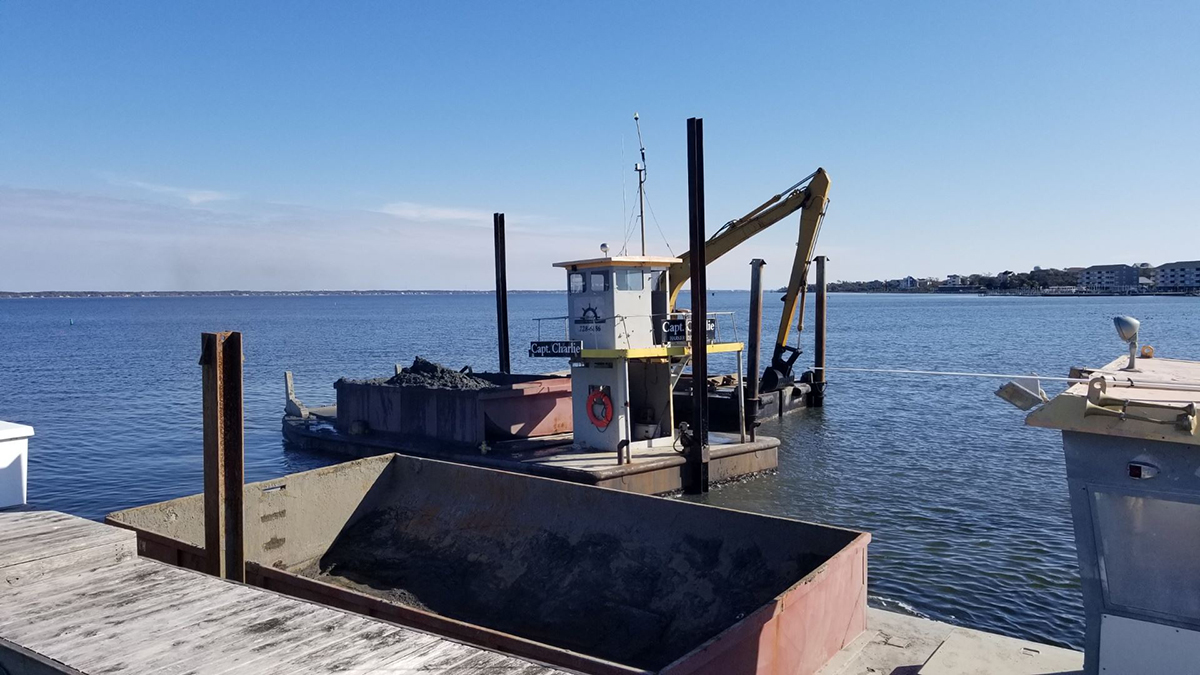
The Corps of Engineers now says it has authority to follow the deepest natural water, or best water, in the Rollinson Channel Navigation Project linking Hatteras and Ocracoke islands.

The proposed corridor with high-shoaling areas to be dredged any time of year indicated in circles. Image: Corps/FONSI
Click here for Inlet channel maintenance made simpler: Go with the flow
CoastalReview.org
The Old Oregon Inlet Life-Saving Station is one of the most beautiful historic buildings on the Outer Banks, situated at a dramatic coastal location that would befit a movie setting.
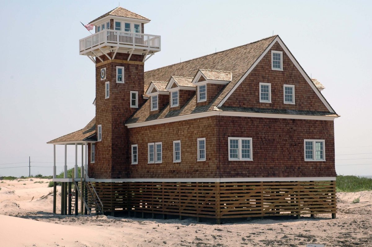
The Oregon Inlet Life-Saving Station on the southeast side of Oregon Inlet, part of the Pea island National Wildlife Refuge. Photo: Courtesy U.S. Life-Saving Service Heritage Association
Click here for 1898 Oregon Inlet Life-Saving Station must go, but where? – Catherine Kozak
CoastalReview,org
Click here for Pamlico County a quiet destination on NC coast
CoastalReview.org
The Waterway’s path through Wrightsville Beach is a narrow congested channel, so caution must be exercised during these dark hours, especially in vicinity of spectator boats.
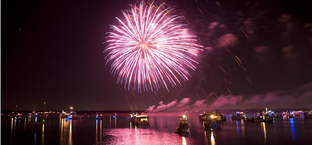
Click here for Wrightsville Beach Holiday Flotilla and Fireworks, Nov 26, 6:30-8:30 PM, AICW NC Statute Mile 283
luminanews.com
Popular literature and the public’s imagination have long perpetuated the notion that the notorious pirate buried his ill-gotten wealth, perhaps on Ocracoke Island.
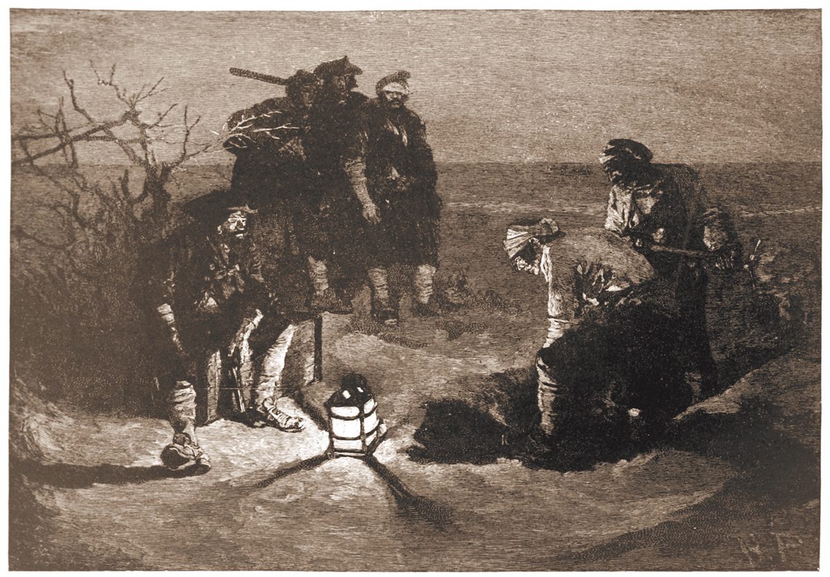
“Blackbeard Buries His Treasure” illustrated by Howard Pyle for Harper’s Magazine, 1887.
Click here for Search for Blackbeard’s treasure based on enduring myth
CoastalReview.org
Cruisers Net reminds you that high water events, like Hurricane Nicole, typically lift lots of debris, visible and submerged, into the navigation channels, especially in the narrow portions of the ICW. A sharp watch is required. Our thanks to Winston Fowler for these photos from the Cape Fear River.

Cape Fear River, Wilmington, NC

Cape Fear River, Wilmington, NC
South Harbor Village Marina guards the Waterway’s northern shoreline, a short hop west of unlighted daybeacon #8, and not far from the mouth of the Cape Fear River. Our thanks to Dave Rowe aboard m/v Stinkpot for this review.
Safe Harbor South Harbor Village is really a wonderful marina. Our experience began with dock master, Ian, expertly telling us exactly what conditions we could expect at the dock, wind, state of the current–everything. He correctly even predicted a best approach for the conditions and was spot on! We rarely accept this kind of information from “off the boat,” but he shared it with such knowing authority, that we knew we were dealing with a very experienced hand, and the trust we placed in him proved not to be unfounded!
We have never been met by a larger or more competent contingent of dock hands. No one expected prematurely tossed lines, and it was clear that they understood they were dealing with an experienced crew and treated us that way. There is no doubt in my mind that, if called to do so, they could also deal with an inexperienced crew and get them on and off the dock with ease.
As soon as we were alongside, they immediately asked for another spring line, and we were again impressed that they recognized the current there, and wanted us tied without us having to readjust hastily-tied breast lines you might get anywhere else. In fact, we rarely hand out lines at all these days. The Boatswain and Captain take care of the job after some less than stellar experiences in the past, but no need for such reticence here.
The facilities are gorgeous with new looking floating docks, slip side pump-outs, and the most advanced fire suppression system we have ever seen. Two stellar restaurants onsite in this park-like setting.
The real stars are the staff. Ian and company go way above and beyond, and this well-trained, crackerjack team are endlessly impressive with their ability to anticipate a transient boater’s every need.


Dave Rowe Captain m/v Stinkpot AboardStinkpot.com
Click Here To View the Cruisers Net North Carolina Marina Directory Listing For South Harbor
Click Here To Open A Chart View Window, Zoomed To the Location of South Harbor Village Marina
The entrance channel to Carolina Beach State Park marina cuts off southward from the AICW, at the western end of Snows Cut, between markers #163 and #165. Our thanks to Dave Rowe, AboardStinkpot.com, for this review and recommendation.
For the budget conscious boater, or one who loves a natural park setting, Carolina Beach State Park Marina is for you! Miles of wooded trails and one of the only spots on earth to spot a Venus Fly Trap in the wild. $30 flat fee for dockage includes power and water. This is the perfect place to hole up and relax while waiting for a favorable current on the Cape Fear River or Snow’s Cut. Choice of grocery stores and a pharmacy under a mile and a half away.


Click Here To View the Cruisers Net North Carolina Marina Directory Listing For Carolina Beach State Park Marina
Click Here To Open A Chart View Window, Zoomed To the Location of Carolina Beach State Park Marina
I second everything in the article. We live nearby. A great resource for local and visiting boaters. Usually has good fuel prices compared to others in the area but check first.

A longtime CRUISERS NET SPONSOR, historic Edenton always has an exciting calendar of events and places to visit! Edenton is at the mouth of the Chowan River on the northwest shore of Albemarle Sound.
Hello!
Have you heard about the newest exciting thing to come to Edenton?
It’s The Herringbone on the Waterfront.
The Herringbone is an exciting new restaurant that is breathing new life into an 1898 herring ice house, turning it into a remarkable destination restaurant.
Already, it is turning heads both in Edenton and beyond.
Today, I want to tell you a bit about it, including the background and why so many can’t wait for it to finally open.
The Herringbone is a tribute and celebration of all things Edenton, combining incredible history with breathtaking execution into a magnificent experience.
There’s no doubt The Herringbone will become an essential part of your next visit to Edenton.
Learn a little more about it today!
| Visit our website! |
101 W Water St, Edenton, North Carolina 27932
The Army Corps of Engineers says its five-year-old rule blocking local governments, marinas and private entities from using its dredged material disposal sites will remain.
Corps policy has caused nonfederal dredging costs to soar
CoastalReview.org


The Neuse River is home to CRUISERS NET SPONSORS, Oriental Marina and New Bern Grand Marina.
National group designates Neuse ‘River of the Year’
CoastalReview.org
Click Here To View the Cruisers Net North Carolina Marina Directory Listing For Oriental Marina
Click Here To Open A Chart View Window, Zoomed To the Location of Oriental Marina
Click Here To Open A Chart View Window, Zoomed To the Location of New Bern Grand Marina

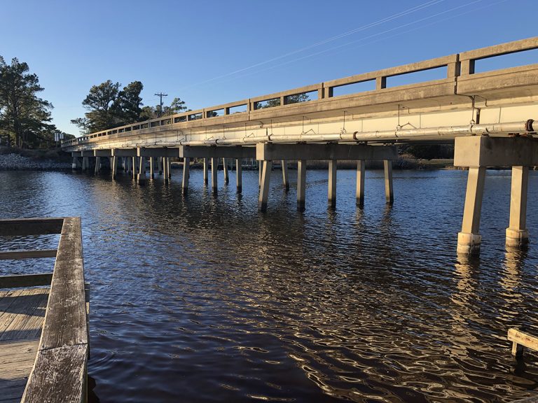
Every season in Washington, NC, A CRUISERS NET SPONSOR, brings something new and exciting. Enjoy local festivals, area concerts, or waterfront adventure. This review is posted with permission of Stacey Guth.
Our Adventures on Stinkpot is in Washington, North Carolina.

Stacey Guth
First Mate & Boatswain
Dave Rowe Captain
m/v Stinkpot
Click Here To Open A Chart View Window, Zoomed To the Location of the Washington City Docks
Levern Davis Parker is a descendant of George Washington Creef Sr., who developed the shad boat that was adopted in 1987 as the state boat of North Carolina.
Click here for Author traces family’s boatbuilding history in new book
CoastalReview.org

Click here for Introducing: Pathways to Your National Parks!
The military has been a boon to North Carolina’s economy. It has brought in millions in government spending, thousands of jobs, and generations of families eager to live and retire where they used to serve.
Sneads Ferry, Newport shaped by Marine Corps neighbors
CoastalReview.org
The 25th Blessing of the Fleet in Morehead City is set for Sunday morning and the Swansboro Blessing of the Fleet is Oct. 7.

Two events set to pay tribute to fishing industry, families
CoastalReview.org
|


Be the first to comment!