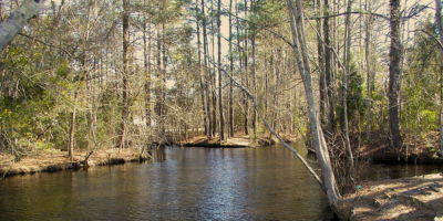
Nonnative apple snails, zebra mussels found in NC waters

click here for Nonnative apple snails, zebra mussels found in NC waters
CoastalReview.org
click here for Nonnative apple snails, zebra mussels found in NC waters
CoastalReview.org
Drawing from maps created by a teacher and his students, historian David Cecelski aims to get a feel for the lumber mill villages in Hyde County that have long since disappeared.

Hyde County road map, 1936. Lake Mattamuskeet occupies the map’s center-right section. The Pungo River forms the county’s western boundary. The body of water to the south and southeast is the Pamlico Sound. We can see the southern part of the Alligator River in the map’s upper righthand corner. Courtesy, State Archives of North Carolina
Click here for Wharf pilings and sawdust: Visiting Hyde’s lost villages by David Cecelski
CoastalReview.org

A longtime CRUISERS NET SPONSOR, historic Edenton always has an exciting calendar of events and places to visit! Edenton is at the mouth of the Chowan River on the northwest shore of Albemarle Sound.
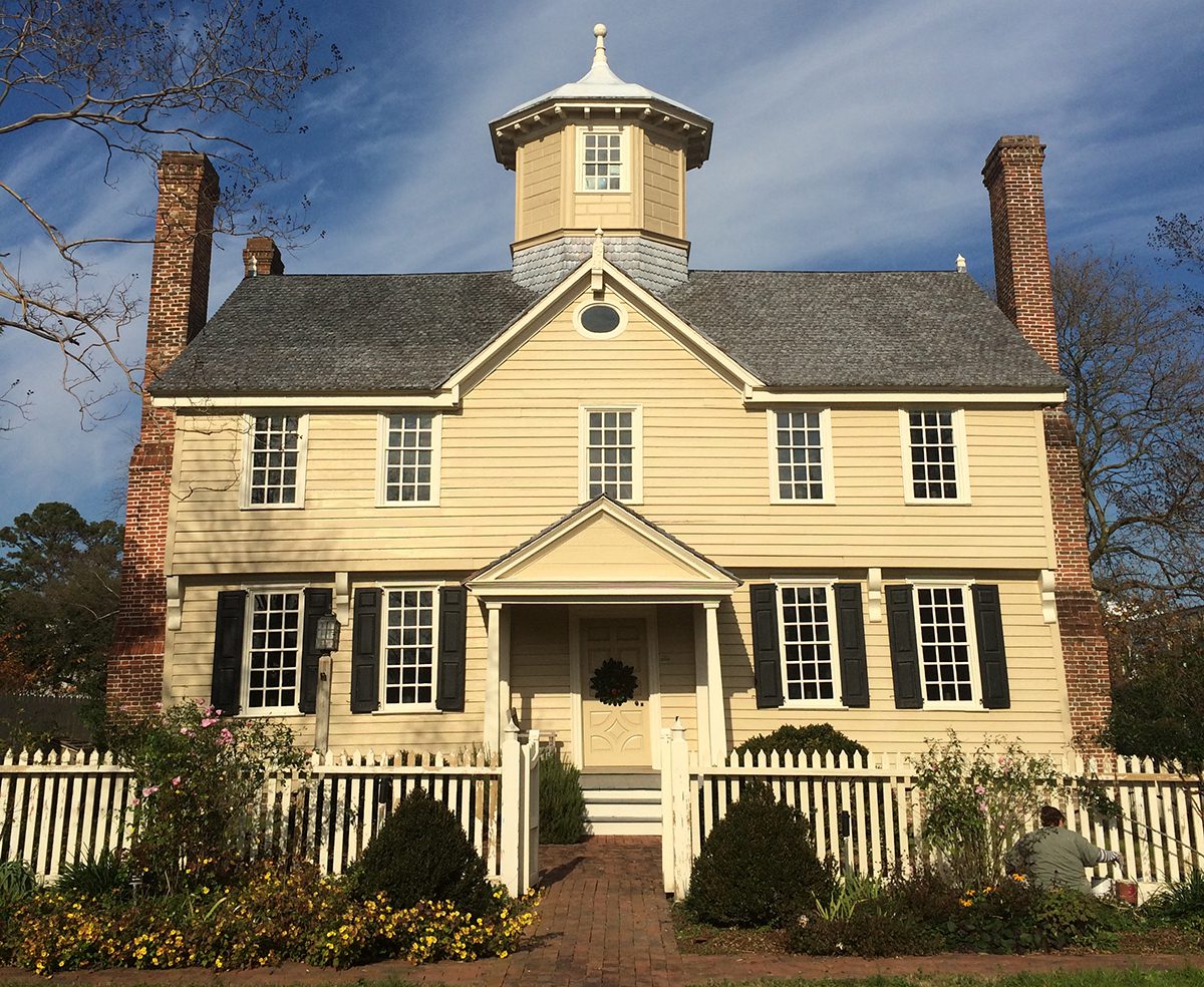
The 1758 Cupola House is at 408 S. Broad St. in Edenton. Photo: Eric Medlin
Click here for Edenton’s history ‘an everyday part of life’ for its residents by Eric Medlin
CoastalReiew.org
Click Here To Open A Chart View Window Zoomed To the Location of Edenton Harbor City Docks
If you know what a puddingwife wrasse is, you are a true angler!
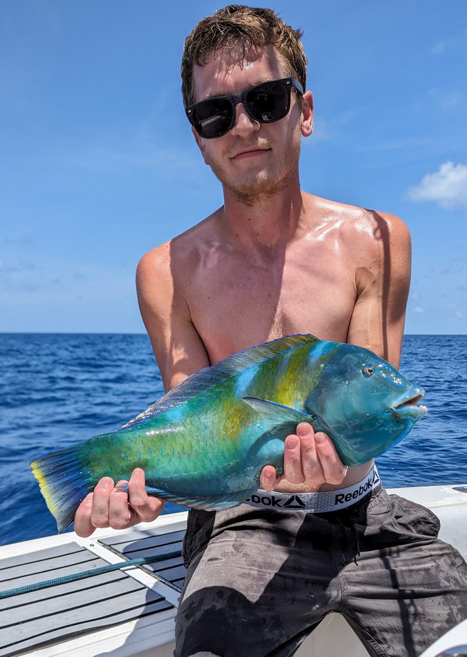
Click here for Connor Stone lands first state record puddingwife wrasse
CoastalReview.org
Our thanks to Sarah Hill, Director of Dismal Swamp Welcome Center, for this notice.

Click here for NTNI – Deep Creek Bridge Replacement Project
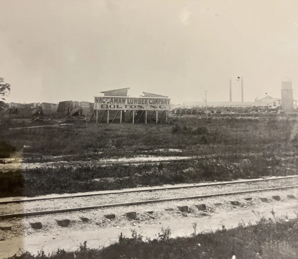
The Waccamaw Lumber Co.’s mill, Bolton, N.C., early 20th century. From Waccamaw Lumber Co. Photographs and Journal, Rubenstein Library, Duke University
Road to Makatoka: Logging the Green Swamp, 1910-1930 by David Cecelski
CoastalReview.org
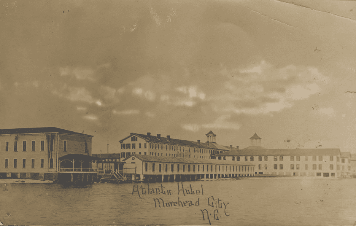
The Atlantic Hotel, a long-gone Morehead City attraction, is shown in 1909. Photo: Tabitha Marie DeVisconti Papers, East Carolina University Digital Collections
Click here for Long a destination, Morehead City on road to change
CoastalReview.org
AREA SPONSORING MARINA
Click Here To Open A Chart View Window, Zoomed To the Location of Morehead City Yacht Basin

A longtime CRUISERS NET SPONSOR, Dowry Creek Marina is owned by the Zeltner family who want to roll out the red carpet to transients, offering whatever you might need during your visit. This highly praised and transient friendly marina lies off the AICW/Pungo River north of Belhaven, NC.
“The Salty Crab” Waterfront Restaurant Opens at Dowry Creek Marina in Belhaven
The Salty Crab Restaurant at the Dowry Creek Marina is Now OPEN. The picturesque new 5000 sq foot waterfront restaurant and bar served over 850 customers over the Labor Day Weekend as a steady stream of folks came by boat off the ICW and by road to enjoy the food and check out the new facility. Dowry Creek has plenty of dock space for visiting boats up to 195 ft with 9′ channel depth on the approach. In addition to 30 transient slips for overnight dockage, they have plenty of space for boats stopping in to get VALVTEC fuel and/or fill their own tanks at the restaurant There is also plenty of protected anchorage space in Upper Dowry Creek near the marina and easy access for dinghy parking at the pier. The Salty Crab features Chef Cody Johnson, and is open 7 days a week from 11 am until 10 pm serving a variety of seafood dishes, burgers, sandwiches, salads and more; and features a full bar with 22 beers on tap, a great wine selection and all of your favorite mixed drinks. Pizza, steaks and a full dinner menu will be added over the coming weeks in preparation for the fall boating season as the ICW fills with boats heading south towards the sunshine and warm winter temperatures. With the news, space is going fast, so make your reservations now if you want to reserve an overnight slip for the upcoming season.
Stephen Zeltner
Click Here To View the Cruisers Net North Carolina Marina Directory Listing For Dowry Creek Marina
Click Here To Open A Chart View Window, Zoomed To the Location of Dowry Creek Marina
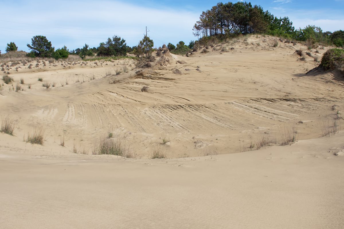
Click here for The sand waves of Hatteras: ‘on a mission of death’
CoastalReview.org
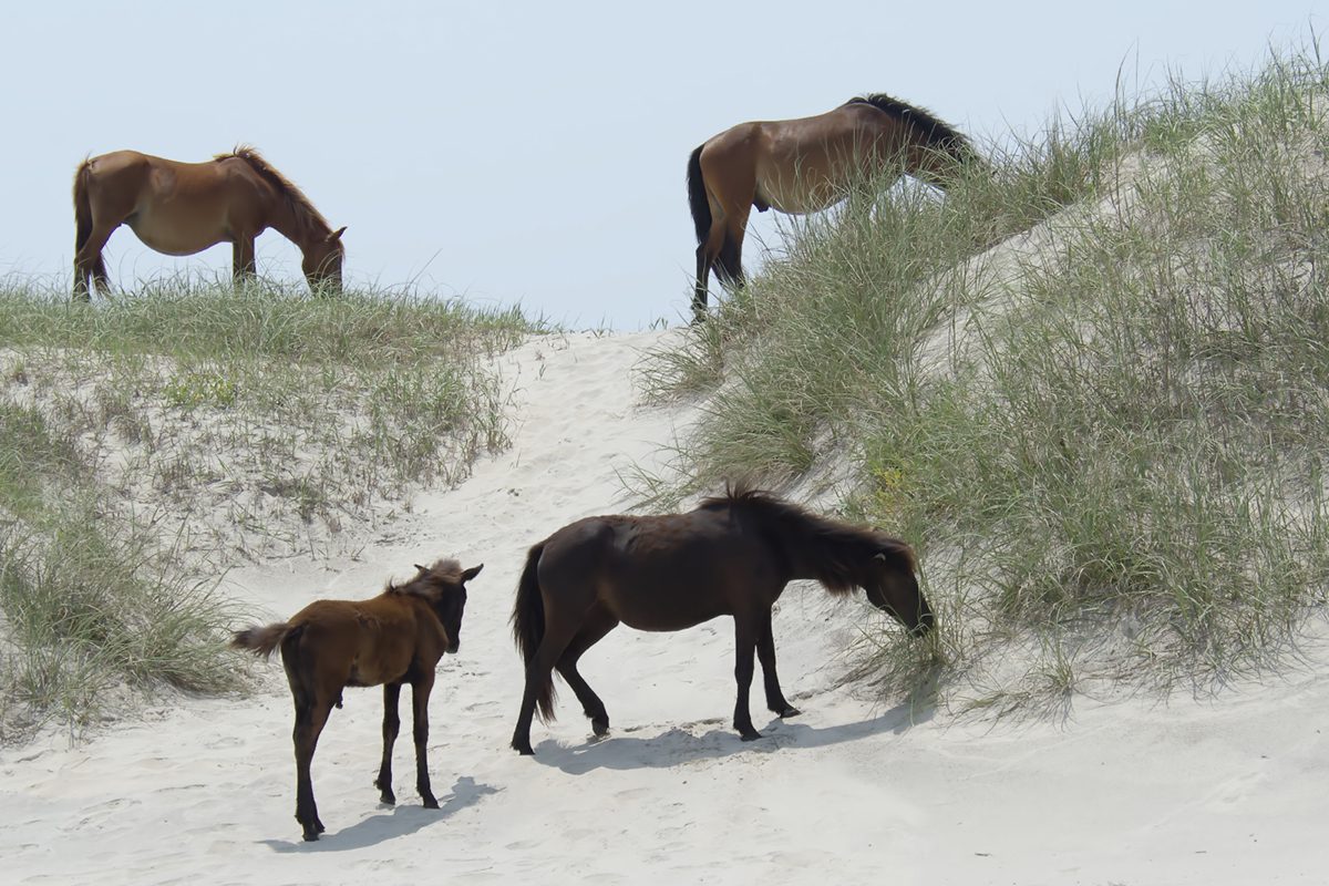
A harem at Currituck National Wildlife Refuge includes, clockwise from top left, Orlanda, Renzi; Cedar and her younger brother foal Drum. Photo: Kip Tabb
Click here for Manager says Corolla horses look ‘marshy’ for good reason
CoastalReview.org
Browns Island is the area north of Browns Inlet on the east side of the AICW.
Click here for Tourists won’t stay away from this deadly Marine Corps island
Task and Purpose
The freight boat Little Jim on Bogue Sound, 1907. Photo courtesy of the State Archives of North Carolina
Click here for At the Boundary between Land and Sea: Coastal life in 1909
CoastalReview.org
Click here for Ode to the Salt Marsh: Paddling the waters less traveled
CoastalReview.org
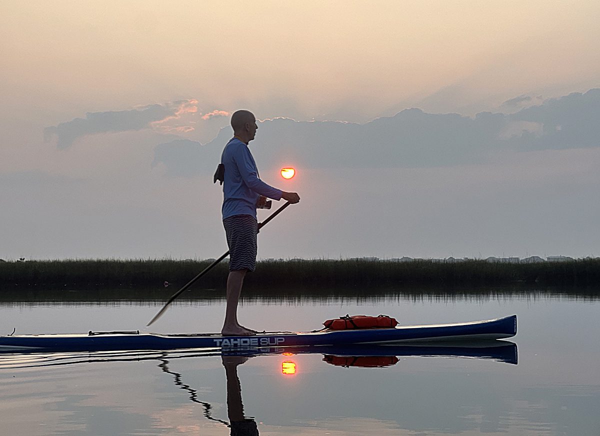
Our thanks to Brad Condon for this sunset photo from Belhaven, NC. Belhaven is A CRUISERS NET SPONSOR!

Click Here To View the VA to NC Cruisers Net Marina Directory Listing For Belhaven, NC
Click Here To Open A Chart View Window Zoomed To the Location of Belhaven, NC
|
|

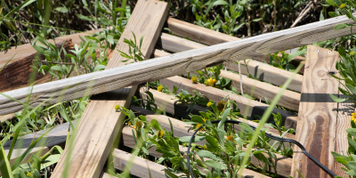
The Dismal Swamp Canal is open to navigation & locks are operating normally. Attaching some images from the last couple days- it has been a busy spring/summer along the waterway!
Thanks,
Sarah
|
| Sarah Hill, TMP Director, Dismal Swamp Canal Welcome CenterChairperson, Camden County Tourism Development Authority 2356 US Hwy 17 North, South Mills, NC 27976
|


 Due to significant shoaling in Lockwood’s Folly Inlet of less than 2ft MLW across the entire channel, all buoys were removed at the end of March and early April. There is currently no safe path for navigation. Numerous charted shipwrecks exist in the Inlet that pose additional hazards to navigation at low and high tide. |
1. THE FOLLOWING AIDS TO NAVIGATION HAVE BEEN DISCONTINUED TO DUE TO SEVER SHOALING IN INLET REDUCING DEPTHS TO TWO FEET MEAN LOW WATER. A. LOCKWOOD FOLLY INLET LIGHTED BUOY 2 (LLNR 31015 [33°54.4776N / 078°14.3764W, 33.907960 / -78.239606]) – TEMPORALLY DISCONTINUED. B. LOCKWOOD FOLLY INLET BUOY 3 (LLNR 31020 [33°54.6221N / 078°14.3734W, 33.910369 / -78.239556]) – TEMPORALLY DISCONTINUED. C. LOCKWOOD FOLLY INLET BUOY 4 (LLNR 31025 [33°54.7466N / 078°14.3558W, 33.912443 / -78.239264]) – TEMPORALLY DISCONTINUED. D. LOCKWOOD FOLLY INLET BUOY 5 (LLNR 31027 [33°54.8607N / 078°14.3301W, 33.914345 / -78.238835]) – TEMPORALLY DISCONTINUED. E. LOCKWOOD FOLLY INLET BUOY 6 (LLNR 31030 [33°54.9723N / 078°14.2527W, 33.916205 / -78.237545]) – TEMPORALLY DISCONTINUED. F. LOCKWOOD FOLLY INLET BUOY 7 (LLNR 31035 [33°55.1134N / 078°14.2651W, 33.918556 / -78.237752]) – TEMPORALLY DISCONTINUED. G. LOCKWOOD FOLLY INLET BUOY 8 (LLNR 31040 [33°55.1326N / 078°14.2396W, 33.918877 / -78.237327]) – TEMPORALLY DISCONTINUED. |
![]() Click Here To Open A Chart View Window, Zoomed To This AICW Problem Stretch
Click Here To Open A Chart View Window, Zoomed To This AICW Problem Stretch
Brunswick County is North Carolina’s southeast corner and in numerous ways a microcosm of the entire coastal region.

Fort Johnston. Photo: Eric Medlin
Click here for From pivotal beginnings, Brunswick County history lives on
CoastalReview.org – Eric Medlin
1. THE RESTRICTED AREAS IN THE NEW RIVER
Click here for SAFETY/NC – NEW RIVER – FIRING EXERCISES FROM 01 MAY 2023 TO 07 MAY 2023/HAZ OPS/SEC NC BNM 0176-23


Be the first to comment!