The Grant Game
A humorous look at mal de mer. Our thanks to Winston Fowler for sharing this link.
The Grant Game by Chris Caswell
PassageMaker
A humorous look at mal de mer. Our thanks to Winston Fowler for sharing this link.
The Grant Game by Chris Caswell
PassageMaker
The Dismal Swamp Canal Welcome Center is located adjacent to the Dismal Swamp State Park, offering trails, exhibits and ongoing programs in Camden County, NC. Docks are provided by the Dismal Swamp Canal Welcome Center, A CRUISERS NET SPONSOR and a NC DOT Rest Area facility.
The Great Dismal Swamp Canal, which was opened in 1805 and widened in 1829 with the use of slave labor, passes through Camden County. Photo: Eric Medlin
Camden’s history, economy rooted in Great Dismal Swamp
CoastalReview.org
The Florida Fish and Wildlife Conservation Commission and the U.S. Fish and Wildlife Service have announced a “supplemental feeding” plan to save malnourished manatees on the Atlantic coast.
Supplemental feeding for the malnourished manatees | Science & Technology | crimson.fit.edu
The Florida Tech Crimson
In tandem with pollution, jet skis are wreaking havoc. These can easily go over 50 mph. Neither manatees, human swimmers, nor birds have a chance against them. Jet skis are highly unsafe, noisy, pollute, and, for all the above, need to be illegal on public waterways.
This situation occurred several years ago when the Save the Manatee Club made its big push. The ideal is super, but the reality is not. Yes, they are large docile creatures that have a place in Florida. However, when steps are taken to increase their numbers above and beyond what the natural food supply will support, the situation that we have now takes place. Mess with Mother Nature, and you create a second problem. I guess it is a steep learning curve.
Cape Lookout National Seashore has been certified as a Dark Sky Place, the first in the National Park Service on the Atlantic coast to receive this certification. The popular Cape Lookout Bight anchorage is practically in the shadow of Cape Lookout Lighthouse. In rough offshore weather, cruisers with shallow draft may choose to access the anchorage via Taylor Creek and Barden Inlet which separates Shackleford Banks and Core Banks. See Dark Sky Park.
Cape Lookout Lighthouse under the night sky. Photo: Alex Gu/Crystal Coast Stargazers
Cape Lookout is now a certified International Dark Sky Park
CoastalReview.org
Click Here To Open A Chart View Window, Zoomed To the Location of Cape Lookout Bight
Searching for clues about one of the most important forces in the planet’s climate system: a network of ocean currents known as the Atlantic Meridional Overturning Circulation (AMOC).
The Atlantic’s vital currents could collapse. Scientists are racing to understand the dangers.
MIT Technology Review
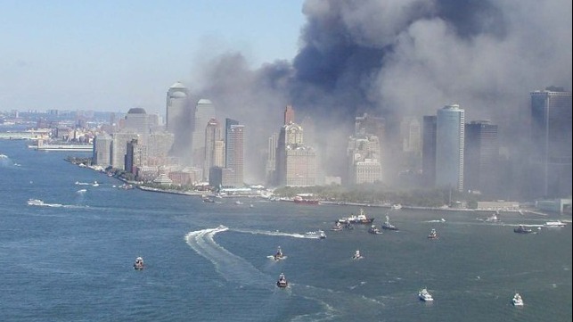
Did you know that Coast Guard units served alongside the Navy firing anti-aircraft barrages against the Japanese attackers and performing harbor and anti-submarine patrols? Open link below.
U.S. Coast Guard Commemorates the 80th Anniversary of Pearl Harbor
Maritime Executive
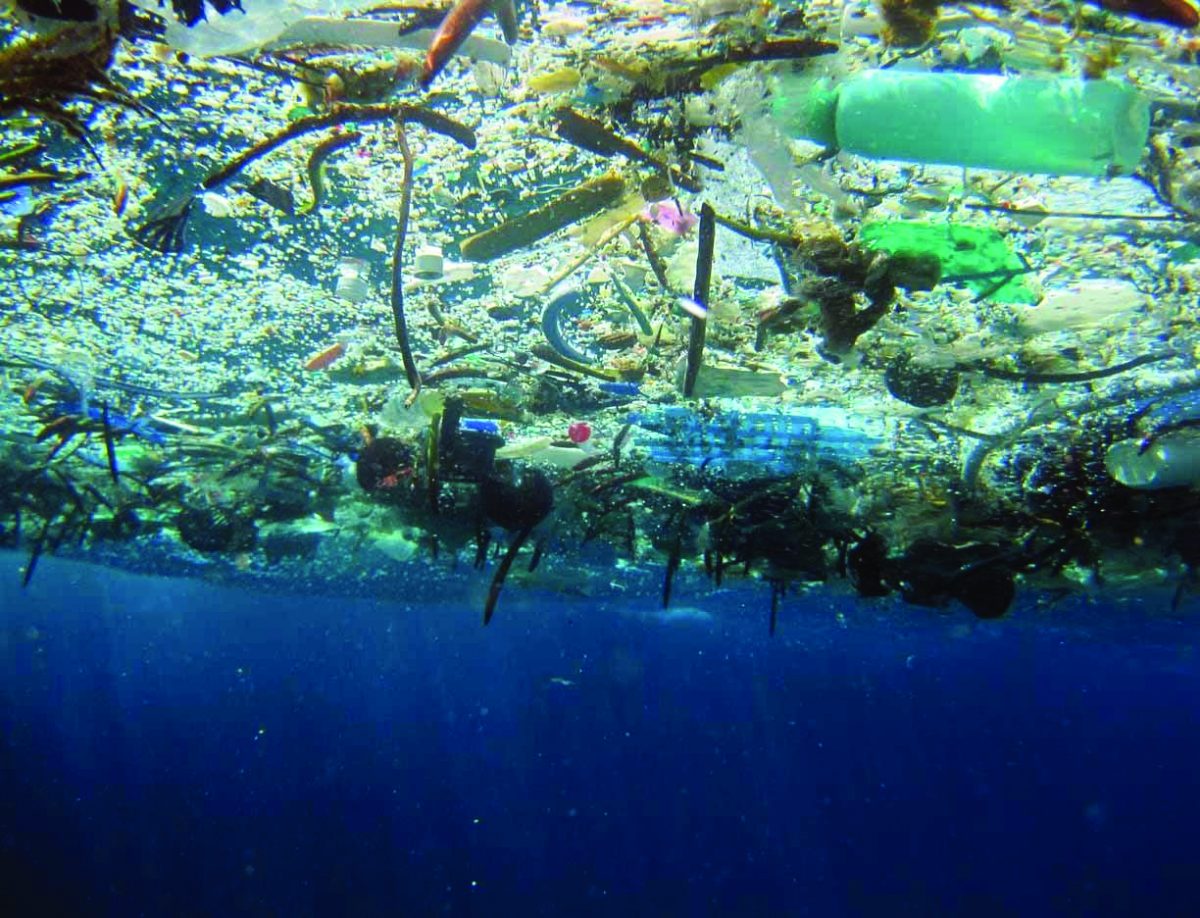
Plastic waste of all shapes and sizes permeates the world’s oceans. It shows up on beaches, in fish and even in Arctic sea ice.
Once it reaches the ocean, plastic waste degrades into millions of small particles (CSIRO file image)
The U.S. Has a Leading Role to Play in Reducing Ocean Plastic
Maritime Executive
Research, published in the journal Nature on Thursday, found that species usually confined to coastal areas — including crabs, mussels and barnacles — have latched onto, and unexpectedly survived on, massive patches of ocean plastic.
World – There’s so much plastic floating on the ocean surface, it’s spawning new marine communities
Coastal News Today
NOAA’s Ocean Today Harvest Season Special – THE FUTURE OF OCEAN FARMING video collection
National Ocean Service.
Learn how sustainable practices are helping to grow healthy seafood and support a clean ocean. |
|
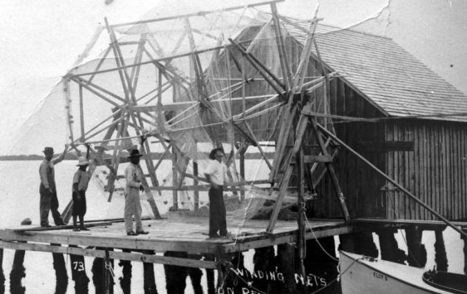
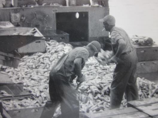
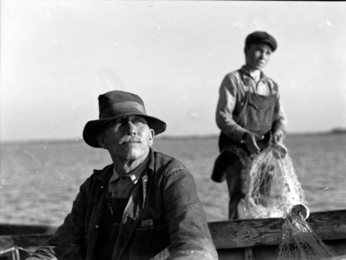
The Florida fishing village known as Cortez has long been populated by folks with surnames that have for even longer been associated with the Bogue Sound area of North Carolina.
Fishermen and net reel, Cortez, Florida, 1920. Burns, Julian and John Taylor, the three on the left, were all from Carteret County. John Taylor first homesteaded on Longboat Key, then came to Cortez. Julian is remembered for his leadership in starting the Cortez Volunteer Fire Department. Photo: Courtesy of Manatee County Public Library
Mullet fishermen: A journey from Carteret County to Florida
CoastalReview.org
North Carolina has a history of leading. Yet they are lagging behind our fellow states when it comes to combating a growing problem that affects North Carolina intimately: plastic pollution.
Plastic debris breaks apart, not down, into microplastics, which are pieces 5 millimeters or smaller. Photo: NOAA
Leadership, action needed to reduce plastic pollution
CoastalReview.org
This article begins in the heartland, but scroll down for an east coast discussion. On the east coast, marine highway projects already have a high profile. Consider the 64-Express, at the Port of Virginia’s Richmond Marine Terminal, on the James River, operating since 2008. The Port estimates that 2020 barge transport eliminated nearly 20,000 truck trips. Many people are at least generally aware that one barge can carry 1,750 tons of dry cargo, a volume requiring 16 rail cars or 70 trucks.
Inland Waterways: A Crucible of Issues
Maritime Reporter – Tom Ewing
Charts are about to change in a big way. The paper charts we’ve used for decades are going away. So, too, are their electronic cousins, called Raster Navigational Charts. NOAA Custom Chart (NCC) is an online application that enables users to create their own customized nautical charts directly from the latest official NOAA electronic navigational chart (NOAA ENC®) data.
The accuracy of future charts depends on all of us using NOAA Custom Chart today.
PassageMaker
NOAA Custom Chart of Nantucket Island, Massachusetts
Greg Allard is an experienced cruiser and longtime contributor to CRUISERS NET. We are pleased to post his latest article, “Easy There, Pal,” as it appears in PASSAGEMAKER magazine. Thank you, Greg! For more articles by Greg Allard, type Allard in the search window of our Homepage.
Trawlers traveling together share the solitude of a remote anchorage at Warderick Wells in the Bahamas. Jim Pope
The Alliance for the Blue Economy (“All Blue”) is a local, multidisciplinary initiative to establish Wilmington and southeastern North Carolina as a national and global leader in the Blue Economy.
The Alliance for the Blue Economy
CoastalReview.org
In the dark of the deep ocean NOAA Remote Vehicles film creatures that could practically come from another world. They are fascinating, beautiful and mysterious.
Creep Into the Deep Halloween Videos!!!
National Ocean Service, NOAA
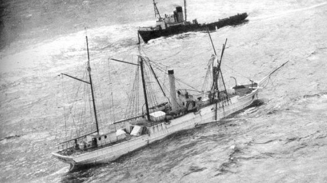
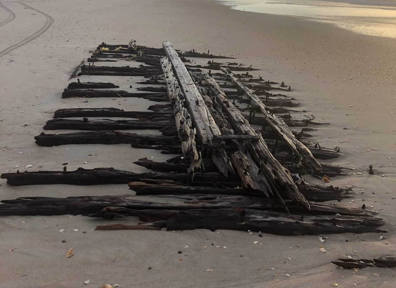
If you love wooden boats, you will appreciate the history of this vessel.
U.S. Coast Guard Locates Wreck of Famed Cutter USRC Bear
Maritime Executive
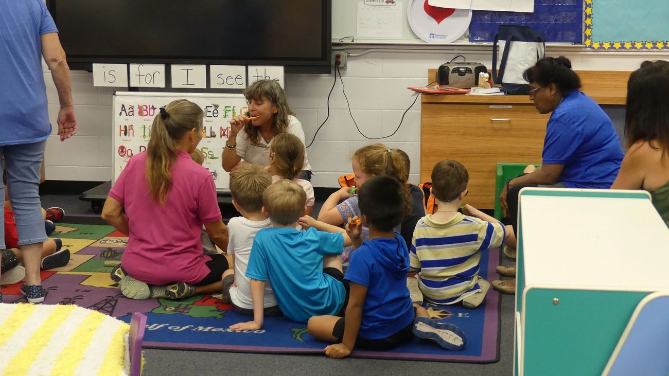
Sailing 4 Smiles is a team of regular and part time licensed dental providers, sailing professionals and volunteers who are committed to helping others. During a stop in St. Augustine, S4S enjoyed the architecture, history and a visit to The Webster School Head Start Program.
Today, an estimated 90 percent of the world’s goods are transported by sea, with 60 percent of that – including virtually all your imported fruits, gadgets and appliances – packed in large steel containers.
A Brief History of the Shipping Container PUBLISHED SEP 30, 2021 10:52 PM BY ANNA NAGURNEY
Maritime Executive
A recently launched website from NOAA’s Precision Marine Navigation (PMN) program will improve the use and accessibility of NOAA’s marine navigation products and services. The website, Marine Navigation, includes links and short descriptions to NOAA’s various navigation resources, providing a one-stop shop that mariners can visit to get the data they need.
New NOAA website provides marine navigation resources in a central location
NOAA Office of Coast Survey
Be the first to comment!