Pamlico County a quiet destination on NC coast
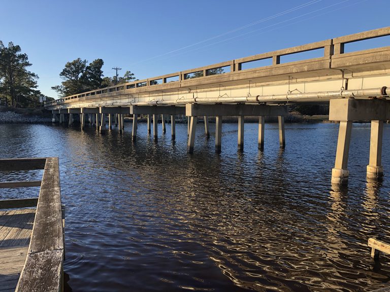
Click here for Pamlico County a quiet destination on NC coast
CoastalReview.org
Click here for Pamlico County a quiet destination on NC coast
CoastalReview.org

Click here for [New Video] NOAA Ocean Today – Flooding on a Sunny Day? Here’s How
Click image below for details. Topside Marinas is A CRUISERS NET SPONSOR!


The Florida Keys are home to the world’s third largest living coral reef. And Key Largo is home to Key Lime Sailing Club and Cottages, A CRUISERS NET SPONSOR!
Click for Forget Kokomo. Key Largo is the pristine paradise where you wanna go.
National Geographic/Travel
Popular literature and the public’s imagination have long perpetuated the notion that the notorious pirate buried his ill-gotten wealth, perhaps on Ocracoke Island.
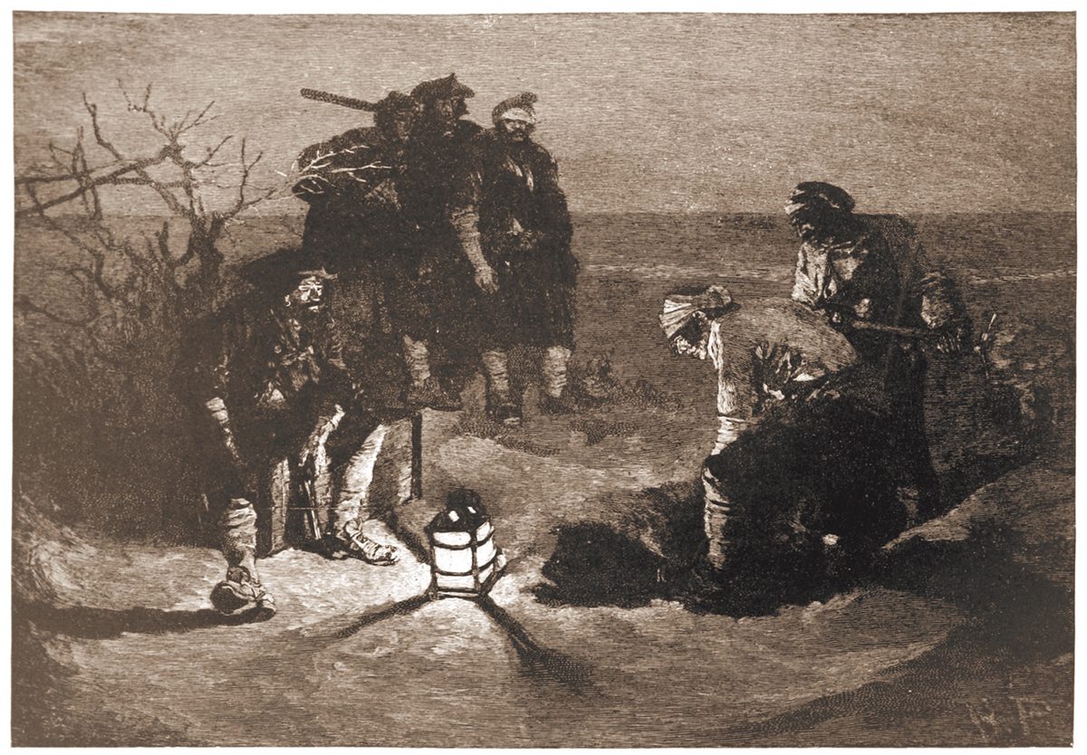
“Blackbeard Buries His Treasure” illustrated by Howard Pyle for Harper’s Magazine, 1887.
Click here for Search for Blackbeard’s treasure based on enduring myth
CoastalReview.org


| ||||||||||||||||||||||||||||||||||||||||||||||||||||||||||||||||
This fall, a massive new dataset release will help maritime navigation become safer, easier and more efficient.
Click here for Effort to sync waterway names will improve maritime safety, efficiency
NOAA

Click here for Introducing: Pathways to Your National Parks!

Click here for BoatUS: How to Recover Your Boat After a Hurricane
Cruisers Net publishes Loose Cannon articles with Captain Swanson’s permission in hopes mariners with salt water in their veins will subscribe.. $5 a month or $42 for the year and you may cancel at anytime.

Click here for ABYC Tests Show LiFePO4 Batteries Are Safe
Click here for ICYMI: Hurricane Storm Surge Explained from NOAA’s Ocean Today
Our thanks to Sean Welsh for sharing his experience and knowledge of storm conditions in the southern regions. Current LNMs are also posted and updated daily on Cruisers Net.
For those headed south toward the FL Gulf Coast, some unsolicited advice
from a long-time disaster responder, licensed mariner, and full-time
cruiser:
I know it’s late in the season and winter is soon upon us. But I suggest
lingering as far north as practical until well past October. Hurricane
season does not end until November 30, but, more importantly, you are
now unavoidably traveling into a major disaster area. Things will not be
the way you remember them if you’ve been there before, or the way
they’ve been portrayed to you if this is your first time. Some things to
keep in mind:
No one will have time or resources to deal with you. Locals will be
focused on recovery and self-care. Businesses will be closed (or
destroyed), have limited hours, or limited stocks. Outsiders traveling
for pleasure can be perceived (whatever the reality) as consuming
resources needed to help residents. Or worse, as “disaster tourists.”
Waterways in the area will have changed from what is shown on the
charts. Shoals will have moved or developed. Aids to Navigation will be
missing, off-station, or extinguished. The bottom can be littered with
debris including sunken vessels or entire structures. Even well after
these storms you will need to proceed with extreme caution; consider
traveling offshore if weather permits and avoiding the GIWW and OWW
altogether if possible.
Expect waterway closures and security zones, due to damage or recovery.
Some drawbridges or locks may be inoperative or on reduced schedules.
Download the Local Notices to Mariners (LNMs) each week, and listen to
the Broadcast LNMs that the Coast Guard annouces every morning on VHF
16. LNMs can be downloaded here:
https://www.navcen.uscg.gov/lo
Seventh District will be the relevant one.
Obtain your fuel, water, and provisions well before reaching south Florida.
Expect communications to be spotty in many places. Cellular Internet
will be overloaded, and inoperative in some places. Even voice will have
issues. SMS typically works better than anything else cellular in a
disaster area. Make sure you have a good, working VHF in case of emergency.
Marine supplies and services are likely to be unavailable. If you’ve
been meaning to pick up a spare impeller, or some extra motor oil, or
whatever, do it now. The simplest of problems can waylay you for a very
long time in a place you probably don’t want to be.
It should go without saying, but do not expect to dock. Anywhere for any
reason. You might get lucky, but the chances are slim. If you do find a
place to tie up, it may not have power, water, or pumpout.
Expect to be self-sufficient once west of Stuart or south of Miami.
My thoughts are with you and with all the people affected by, and
responding to the pummeling the gulf coast is receiving. I’m pinned down
today by offshore weather, with a lot of time on my hands to watch the
news roll in; it is heartbreaking.
Sean Welsh
Good advice. After a major storm like Ian even traveling offshore can be hazardous for quite awhile afterward. Think of all the junk that has washed into the ocean and could be floating out at sea. If your boat successfully weathered the storm, but was within the strong wind area, be sure to give everything a careful check before going anywhere. Make sure your sailboat rigging is all good. I went up the mast after Hurricane Bob and found most of the strands in the forestay were broken, probably due to the intense vibration endured. Similarly, give any cleats and lines a close inspection and consider replacing rope that was under tremendous stress. Make sure water didn't get into your fuel. Be prepared with extra filters when you do go out.
Excellent advice, Sean, which of course will equally apply to cruisers traveling west through the Okeechobee or north from Marathon. Well done article.
SPECIAL BULLETIN (3 New Ocean Today Videos) Hurricane Science and Safety
National Ocean Service
The military has been a boon to North Carolina’s economy. It has brought in millions in government spending, thousands of jobs, and generations of families eager to live and retire where they used to serve.
Sneads Ferry, Newport shaped by Marine Corps neighbors
CoastalReview.org
Whether building boats for business or recreation, or used as a means to freedom, boatbuilders, along with their vessels and shipyards, have impacted the maritime history of the Albemarle Sound.
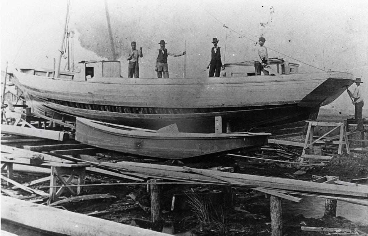
Employees of Creef Boatworks in Wanchese are shown on a schooner under construction. Photo courtesy Outer Banks History Center, Manteo.
Albemarle Sound boatbuilding exhibit to open Oct. 11
CoastalReview.org
See also Why a Ship’s Speed is Measured in Knots
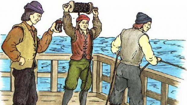
Click for Why is Speed Measured in Knots
SailingScuttleButt.com

Holden Beach is home to a sizeable commercial fishing fleet, and it’s fun to watch them unload at the docks. Image: North Carolina’s Brunswick Island
Your Guide to NC’s Brunswick Islands
StyleBluePrint
Cruisers Net publishes Loose Cannon articles with Captain Swanson’s permission in hopes mariners with salt water in their veins will subscribe.. $5 a month or $42 for the year and you may cancel at anytime.
Click here for Here Come the Wind Farms; Don’t Discard That Old Radar Reflector
Cruisers Net publishes Loose Cannon articles with Captain Swanson’s permission in hopes mariners with salt water in their veins will subscribe.. $5 a month or $42 for the year and you may cancel at anytime.
Click here for To Point or Not to Point, the Starlink Question
A centerpiece of the Inner Banks, Beaufort County features a state park, several smaller parks to complement its colonial heritage and is home to CRUISERS NET SPONSOR, Washington City Docks.

Beaufort County’s history, natural areas add to its lure
CoastalReview.org
Click Here To Open A Chart View Window, Zoomed To the Location of the Washington City Docks


Be the first to comment!