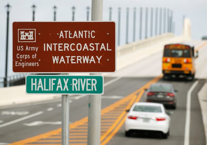
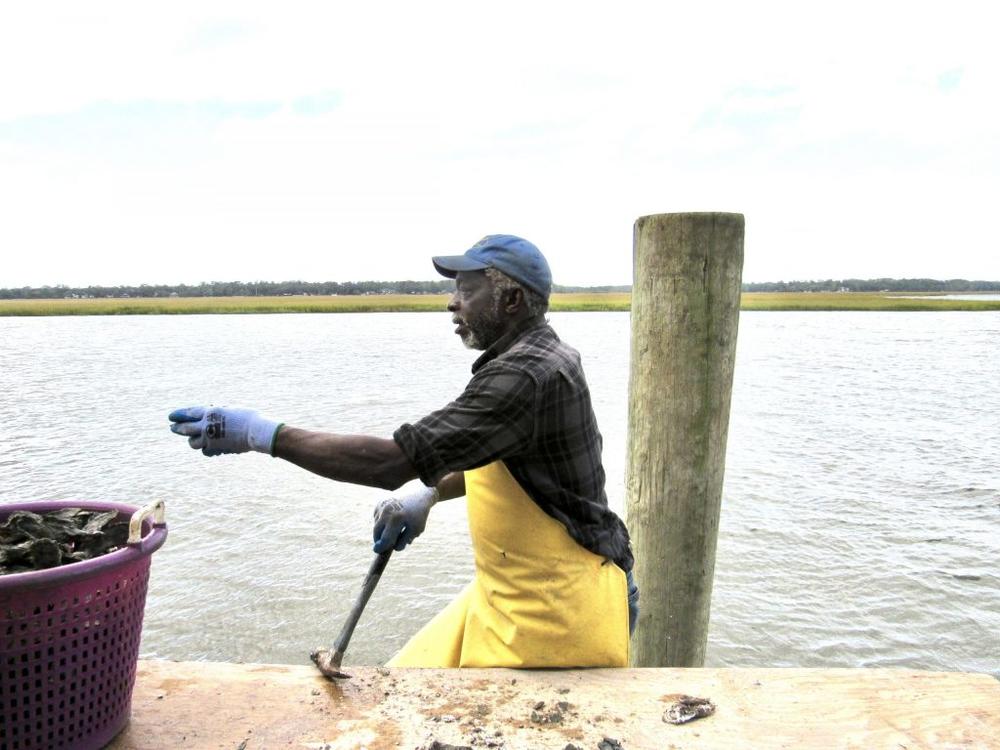
The North Carolina Estuarium in Washington, A CRUISERS NET SPONSOR, is exploring an essential element — water — with the Water/Ways traveling exhibition, a part of Smithsonian’s Museum on Main Street program.
Estuarium Dives into the Necessity of Water
Coastal Review Online
At the intersection of the Atlantic Intracoastal Waterway and the Okeechobee Waterway, Martin County, A CRUISERS NET SPONSOR, is a hub of boating activity and of events of interest to boaters.
|
|
|
|
|
|
|
|
|
|
|
|
|
Topside Marinas, A CRUISERS NET SPONSOR, is always on the lookout to bring high quality marinas into their family. For those generous people who love to make introductions, they would love to allow you to contribute and, in return, show you their appreciation.
This biodegradable plastic seems too good to be true.
This bioplastic can change our oceans and the planets future, there is hope!
SyntecGroup
America’s Marine Sanctuaries: A Photographic Exploration is out now!
|
Watch Ocean Today’s latest Climate Alive: WILD WEATHER Field Report with NOAA climate scientist Tom Di Liberto as he takes us on a satellite tour of recent hurricanes and wildfires. It’s a fascinating, fun way to learn about the ocean/weather/climate connection.
Climate Alive! Wild Weather: Megafires and Superstorms (6 minutes)
NOAA
Cruisers Net unites with United States Power Squadrons (USPS) / America’s Boating Club to help maintain and enhance the accuracy of the Cruisers Net marina listings.
USPS members will regularly survey marinas to provide timely updated data for our current marinas as well as expand our marina listings. All USPS surveys will be based on on-site visits and personal interviews with the marina staff. The surveys will go through an extensive verification and validation process by USPS and Cruisers Net staff before being entered into the Cruisers Net database.
The first group of marina surveys has already been incorporated into Cruisers Net database and ranges from St. Augustine City Marina in St. Augustine, FL to Myrtle Beach Yacht Club in Myrtle Beach, SC. Updated information from additional marinas will be incorporated on a regular basis as they are surveyed.
Cruisers Net fuel editor, Kaye Adams, will still phone survey all marinas for their latest fuel prices and availability status each week. This process ensures Cruisers Net has the most accurate and up-to-date fuel information of any resource.
The United States Power Squadrons DBA America’s Boating Club, is a non-profit educational organization, founded in 1914, whose mission is to improve maritime safety and enjoyability through classes in seamanship, navigation, and other related subjects.
Visit https://www.americasboatingclub.org to learn more about United States Power Squadrons (USPS) / America’s Boating Club
Good reminders of our responsibilities when navigating in the vicinity of dredge or construction equipment.
DREDGING AND MARINE CONSTRUCTION CAUTIONS
Mariners are cautioned to stay clear of dredge, booster, floating (pontoon) and submerged pipelines, barges, derricks and operating wires associated with dredging and marine construction operations. Operators of vessels of all types should be aware that dredges and floating pipelines are held in place by cables, attached to anchors some distance away from the equipment. Buoys are attached to the anchors so that the anchors may be moved as the dredge advances and the location of the submerged pipelines are marked by buoys on each side of the channel. Mariners are cautioned to strictly comply with the Inland Rules of the Road when approaching, passing and leaving the area of operations, and remain a safe distance away from the dredge, booster, buoys, cables, pipeline, barges, derricks, wires and related equipment. Dredging projects are usually conducted 24 hours a day, 7 days a week. All fishnets, crab pots and structures in the general area must be removed prior to commencement of any work. A NO WAKE transit is
requested of all vessels passing the dredge and if necessary to clarify a SAFE PASSAGE contact the dredge on the appropriate VHF-FM channels. LNM 42/20
NOAA’s newest web portal is a remarkable tool showing “at-a-glance” the status of seven major US marine ecosystems across the U.S. as well as a national synthesis.
NOAA’s National Marine Ecosystem Status web portal is live!
Planet Stewards
Thanks much Larry for your support. I tried to be careful about the wording of my statement. The last thing I want to do is tell boaters that they should knowingly break the boating law pertaining to anchoring. However, based on my conversation with Rep Stephens, who was speaking with the DNR Commissioner Mark Williams, I was told that DNR has no intentions of enforcing anchoring restrictions in the newly announced commercial shellfish leased areas at this time.
I intend to anchor as usual, avoid anchoring near private docks and marinas, and avoid anchoring near any marked recreational and commercial shellfish areas. The legal setbacks from these areas are: 150' private docks, 300' marinas, and 500' shellfish beds. If I am approached by a GA DNR law enforcement officer, I will politely comply with their directive whether I believe they are right or wrong.
GA has very few DNR law enforcement officers working the coastal area. They do not have time, nor the inclination to harass boaters. We have been told repeatedly that enforcement is complaint driven. For example, if a marina or private landowner calls DNR and complains about a boat they believe is anchored to close to their dock, then a DNR enforcement officer will be dispatched. He/she will evaluate the situation and instruct the boater and homeowner appropriately. If there is a violation, the boater will be warned and asked to move. Take a screen shot of your GPS position for reference.
Use common sense, be courteous, and enjoy our beautiful coastal waters. Hopefully someday GA will get the public relations effort right.
Cruisers Net has joined other concerned boating groups in requesting clarification on anchoring restrictions as defined in GA DNR’s Liveaboard Anchoring Illustrative Map. Our thanks to Ted Arisaka and James Newsome for their research and diligence in seeking fairness for all boaters, locals and transients. To see the various layers with defined restrictions, click on Layers in the center of the bottom of the map linked above.
Commissioner Mark Williams, October 12, 2020
On behalf of the group of boaters who worked with the GA DNR to create replacement HB 833 earlier this year, we seek some clarification on its implementation. You may recall that during our conference call, we stated our concerns about the shellfish harvest areas and you directed your team to follow up with James Newsome as our representative on this matter. This has not occurred to date and we would like to avoid another confrontational situation such as when HB201 was developed without stakeholder involvement.
The areas designated as shellfish harvest area buffers in the current map on the GA DNR website (Ref 1) are greatly increased vs those previously defined.
· Is GA DNR CRD representing the green shaded areas as currently approved shellfish growing areas?
Terms and Conditions preceding the map state (emphasis mine) “Anchorage restriction areas means those areas within the estuarine areas of this state in any location that lies within 300 feet of a marina, 150 feet from a marine structure other than a marina, or within 500 feet of approved commercial shellfish growing areas and designated public harvest areas as determined by the department.”
· As much of the expanded shellfish growing areas include federally defined navigable waterways below the low water mark, has the US Army Corps of Engineers approved the designation USACE Nationwide Permit 48 (Ref 2 and 3) ?
· How much of the shellfish zones will be below the intertidal zone and be set aside for the mariculture technique utilizing cages suspended in the water column by floats?
· HB501 specifies that subtidal harvest zone leases must first be evaluated for impact against other public uses. (Ref 4). Has this been completed? If so, may we examine the evaluations? If not, what opportunity for public comment will you make available?
” Prior to offering a subtidal water bottoms lease, the department shall consider compatibility with other public uses of the marine and estuarine resources in proximity of the lease area that include, but are not limited to, navigation, fishing, swimming, and other forms of recreation.”
· GA DNR has adopted the federal framework of National Shellfish Sanitation Program (NSSP), requiring shellfish waters meet the NSSP requirements before being designated as approved. Have these assessments been completed for all indicated areas? (Ref 5)
The boating group members seek a balance of interest among public access, waterfront property owners, and a resurgent shellfish industry.
Your feedback to clarify the above points would be most appreciated.
Coalition is comprised of:
America’s Great Loop Cruisers Association
CruisersNet
DeFever Cruisers Association
Marine Trawler Owners Association
National Marine Manufacturers Association
Waterway Guide
Save Georgia’s Anchorages
Cc: Walter Rabon, GA DNR Deputy Commissioner,
Doug Haymans, GA DNR Director, Coastal Resources Division
Reference:
1- https://gcmp.maps.arcgis.
2 – USACE Nationwide Permit 48 Commercial Shellfish Aquaculture Activities (Sections 10 and 404)
3 – Section 10 of the Rivers and Harbors Appropriation Act of 1899 https://www.epa.gov/cwa-
4 – HB 501 lines 341-346 http://www.legis.ga.
5 – US Food and Drug Administration – National Shellfish Sanitation Program https://www.fda.gov/
October 15 update:
Thanks Larry and CN for joining our efforts to address this latest challenge to anchoring issues on the GA coast.
Larry, Thanks much to CN for joining our effort to address this latest challenge to anchoring issues in GA. Your support is greatly appreciated.
Thanks to Cruisers’Net for your support and helping to raise awareness of this issue to the marine community.
As stated below, this test area is approximately 15 NMs west of Destin, FL. This testing is a continuation of testing begun in August.
FL – GULF OF MEXICO – DESTIN PASS – U.S. Navy Testing
Continuing until approximately November 1, 2020, the U.S. Navy will be conducting test operations in an area generally located approximately 15 nautical miles west of Destin Pass, FL. The test area will include items on the ocean floor and/or moored near to the waters surface that are obstructions to navigation, extending from the beach out to approximate depth of 40 feet. These items will be guarded and/or buoyed while deployed for the duration of the test period. Additionally, helicopter operations will be conducted in the test area. The support/guard vessels
include M/V TYSON B., which will be on station in the testing area during the test events. It is requested that vessels maintain a 1 nautical mile distance from the test area, while operations are in progress. Mariners should contact these support vessels via VHF-FM Channel 16, heed instructions given and stay a minimum of 1 nautical mile from the test vessels on station. U.S. Navy equipment has been deployed in the test area and will remain through the duration of the tests.
Test area bound by the following approximate positions;
North East corner: 30-23-12.0N 086-47-38.0W (30°23.2000N / 086°47.6333W, 30.386667 / -86.793889),
North West corner: 30-23-01.0N 086-49-40.0W (30°23.0167N / 086°49.6667W, 30.383611 / -86.827778),
South West corner: 30-20-44.0N 086-49-28.0W (30°20.7334N / 086°49.4666W, 30.345556 / -86.824444) and
South East corner: 30-20-57.0N 086-47-18.0W (30°20.9500N / 086°47.3000W, 30.349167 / -86.788333) .
Charts 11383 11385 11388 LNM 41/20
Be the first to comment!