NC Sea Turtle Scoop: 2021 Nesting Season
Sea Turtle Scoop: Your Look Inside the 2021 Nesting Season at Cape Hatteras National Seashore
| ||||||||||||||||||||||||||||||||||||||||||||||||||||


|
| ||||||||||||||||||||||||||||||||||||||||||||||||||||
|
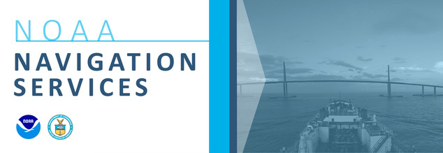
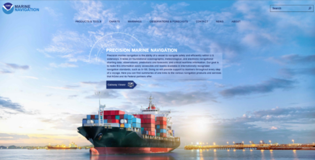
New NOAA Website Provides Marine Navigation Resources in a Central Location.
| Wed, Oct 13, 10:20 AM (21 hours ago) | |||
|

The Dismal Swamp Canal Welcome Center is located adjacent to the Dismal Swamp State Park, offering trails, exhibits and ongoing programs in Camden County, NC. Docks are provided by the Dismal Swamp Canal Welcome Center, A CRUISERS NET SPONSOR and a NC DOT Rest Area facility. See Fall Update.
Greetings,


I agree with the comments above, It is no big deal to transit the DSC and you must remain on your toes both overhead and in the mirrored waters ahead of you. I still prefer this route in our 40' Manta Catamaran. However, with a 65' air draft and a relief at the helm, we cleaded the top of the mast of $500 worth of hardware with an overhanging tree that was overlooked.
Still a beautiful trip that we will make again.
Sailing 4 Smiles is a team of regular and part time licensed dental providers, sailing professionals and volunteers who are committed to helping others. During a stop in St. Augustine, S4S enjoyed the architecture, history and a visit to The Webster School Head Start Program.

October is a key month for N.C. oysters. The wild-caught season begins Oct. 15 and continues through April.
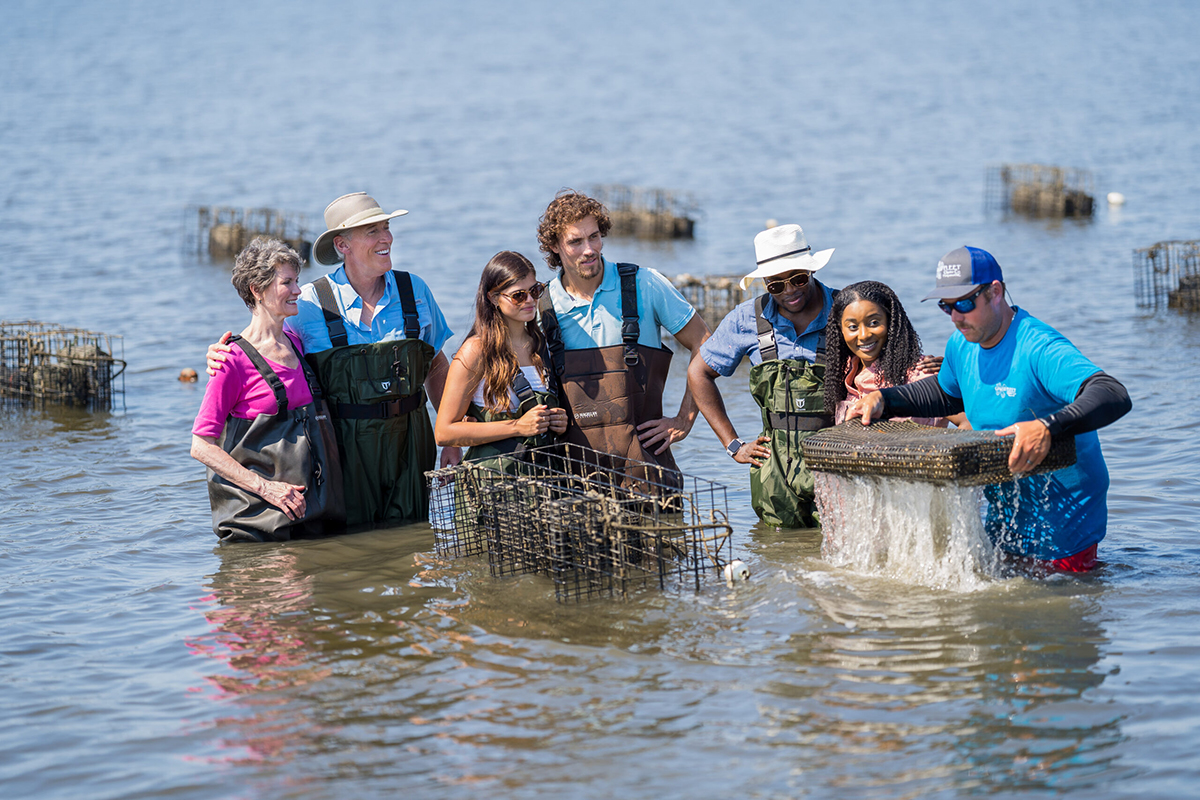
It’s Oyster Week in North Carolina
CoastalReview.org
The Dismal Swamp Canal Welcome Center is located adjacent to the Dismal Swamp State Park, offering trails, exhibits and ongoing programs in Camden County, NC. Docks are provided by the Dismal Swamp Canal Welcome Center, A CRUISERS NET SPONSOR and a NC DOT Rest Area facility. See September 16 Update.
Greetings,
Hope you had a great weekend! We are starting to see an uptick in boating traffic along the canal as well as the beginning of some fall colors appearing. Boaters have reported some patches of duckweed near the South Mills drawbridge and lock, but at this time no major issues. We’ll keep you updated if something changes. Our neighbors at the Dismal Swamp State Park remain closed to visitors due to construction. The park’s pedestrian bridge was removed from the water last week to be worked on.
Canal is open to traffic with locks operating on their normal schedule. We look forward to great fall season and appreciate everything you do to keep boaters updated & ready to cruise the Dismal Swamp Canal!
Please let us know if you have any questions or we can assist in anyway.
Many thanks,
Sarah
|
| Sarah Hill Director, Dismal Swamp Canal Welcome Center Chairperson, Camden County Tourism Development Authority 2356 US Hwy 17 North, South Mills, NC 27976
|


To all East Coast Boaters – this passage is a must. History, primitive beauty, and welcoming layovers are not to be missed. And this welcome center has the nicest people I have ever met. Get a sticker for you car or boat and a cap for your noggin!

A longtime CRUISERS NET SPONSOR, historic Edenton always has an exciting calendar of events! Edenton is at the mouth of the Chowan River on the northwest shore of Albemarle Sound
| ||||||||||||||||||||||||||||||||||||||||||||||||
|
Click Here To Open A Chart View Window Zoomed To the Location of Edenton Harbor City Docks
BoatUS continues to be one of the leading advocates of boating safety and of boaters’ rights.

Oriental is home to longtime CRUISERS NET SPONSOR, Oriental Marina and Inn, lying on the eastern banks of inner Oriental Harbor. Our thanks to Bill Brubaker for these kind words.
Very knowledgeable and helpful dock hands.
Laid back marina, great place to stop. Great atmosphere due to the friendly folks running it.
Showers are super clean and they provide towels, soap, and shampoo.
Tiki bar is cash-only.
All-in costs seem to be about $2.25 a foot.
Ben Matthews
Click Here To View the Cruisers’ Net’s North Carolina Marina Directory Listing For Oriental Marina
Click Here To Open A Chart View Window, Zoomed To the Location of Oriental Marina

A longtime CRUISERS NET SPONSOR, Dowry Creek Marina is owned by the Zeltner family who want to roll out the red carpet to transients, doing whatever you might need during your visit. This highly praised and transient friendly marina lies off the AICW/Pungo River north of Belhaven, NC.
What a wonderful marina to stay at. Clean, organized and friendly. Will always be a part of our travels. Thanks to all staff.
Tony Correlli
Click Here To View the Cruisers Net North Carolina Marina Directory Listing For Dowry Creek Marina
Click Here To Open A Chart View Window, Zoomed To the Location of Dowry Creek Marina


Be the first to comment!