Shared Photo – Seek Shelter!

This photo is from a weather Skytower and the photographer is John Harkness.
AREA SPONSORING MARINA
Click Here To Open A Chart View Window, Zoomed To the Location of Longboat Key Club Moorings
This photo is from a weather Skytower and the photographer is John Harkness.
AREA SPONSORING MARINA
Click Here To Open A Chart View Window, Zoomed To the Location of Longboat Key Club Moorings
A CRUISERS’ NET SPONSOR, Harbortown Marina lies off the southern shores of the Canaveral Barge Canal between Sykes Creek and the Banana River. This fine facility has recently expanded their ship’s store!

As water temperatures warm, manatees naturally disperse from their winter habitats, traveling to other areas of the state and beyond.

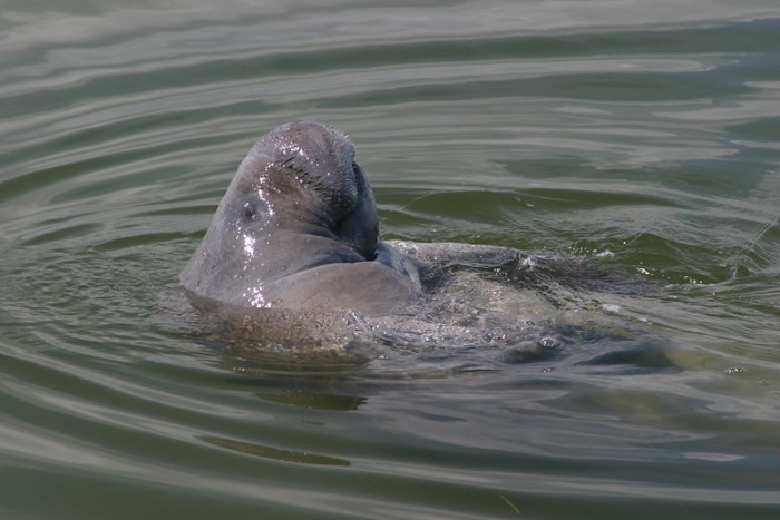
Go slow, look out below; Manatees need your help
Exuma Cays Land and Sea Park was established in 1958 to preserve and maintain the delicate ecological balance of marine life in the Bahamas.

The DESCEND Act made it unlawful to fish for reef fish in the Gulf of Mexico without a device to safely return discarded fish to the water at a depth sufficient for the fish to recover from barotrauma. The law went into effect in January 2022 and requires anglers on commercial, for-hire, and private recreational vessels to have a venting tool or descending device rigged and ready to use when fishing for reef fish species in Gulf of Mexico federal waters.
New Regs for Gulf Coast Fl for returning fish to water
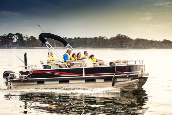
GoBoatingFlorida.com

A longtime CRUISERS NET SPONSOR, historic Edenton always has an exciting calendar of events! Edenton is at the mouth of the Chowan River on the northwest shore of Albemarle Sound. Click the link below for more information on this wonderful port of call.

Click Here To Open A Chart View Window Zoomed To the Location of Edenton Harbor City Docks
Sharks aren’t the man-eaters portrayed in the media. Learn how shark encounters stack up to other dangers like vending machines!

Cause a Sea Change: Save Sharks (4:09)
A great article by Jackie Au of the Dockwa Team for folks thinking of casting off from land holdings.
Liveaboards: 15 Things to Consider!
By Jackie Au, 3/18/22 8:30 AM
This new law went into effect March 14 and establishes increased boat-to-dock limits on most of South Carolina’s major reservoirs. The law does not apply to the Intracoastal Waterway.
|


Be the first to comment!