West Florida: The Forgotten 14th Colony by Bob Barrett
When the 13 colonies rose up against Great Britain in the Revolutionary War, Florida wasn’t in that group. In fact, at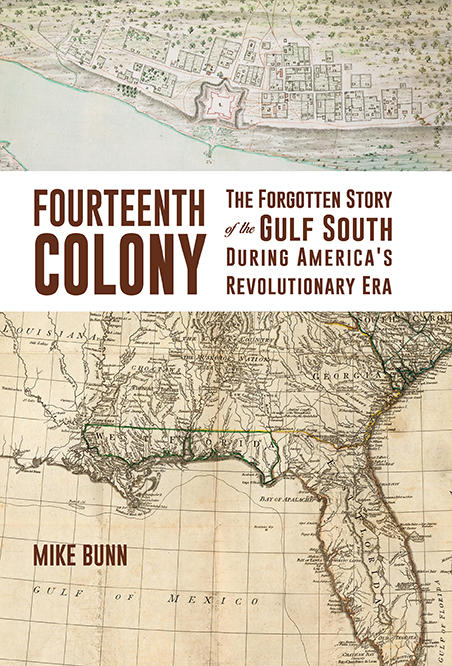 the time, Florida wasn’t even a single colony. Here’s a look at the history of West Florida, the forgotten 14th colony.
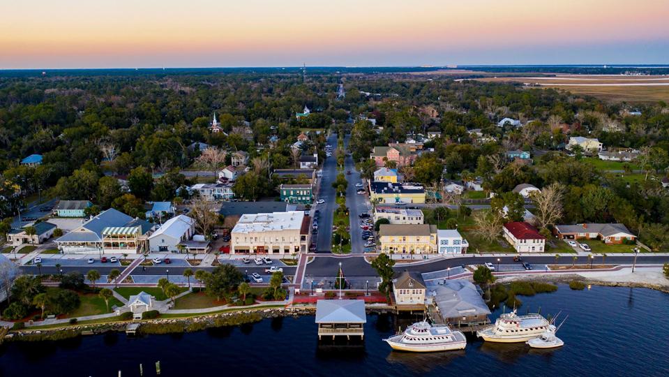
“The name of the colony is West Florida,” said Mike Bunn, a member of the board of directors of the Alabama Historical Association and is Director of Historic Blakeley State Park in Spanish Fort, Alabama. “A lot of people get that geographic reference stuck in their head and they think we’re talking specifically about the Pensacola area. But in truth it was a large swath of the Gulf Coast.”
In his new book “Fourteenth Colony – The Forgotten Story of the Gulf South during America’s Revolutionary Era,” Bunn tells the story of the colony of West Florida, whose boundaries included parts of four current southern states.
“West Florida was bounded on the west by the Mississippi River, the south by the Gulf of Mexico, east at the Apalachicola River, and on the north, originally at the 31st Parallel which is just north of Mobile. And then later they moved the border up to the 32nd Parallel which is where the Yazoo River meets the Mississippi. So we’re talking Vicksburg, Mississippi; Jackson, Mississippi; Montgomery, Alabama; Columbus, Georgia; that would be the northern boundary that was established in 1764.”
That was just one year after Britain received Florida from Spain at the end of the Seven Years War. The territory was a valuable piece of land because of its long coast line, but there were few permanent residents at the time and not many large settlements.
“Pensacola was the capital of West Florida throughout the time period,” said Bunn. “There were only two major communities in the colony for most of its existence, Mobile and Pensacola. And Pensacola was declared to be the capital, the seat of government when it was founded and it remained so, it remained the main port throughout the time period. Mobile was a city that enjoyed a lot of commercial advantages and was about the same size, if not even larger than Pensacola during the time period. But the seat of government stayed in Pensacola.”
Bunn says the colony’s form of government was unique for the time and the region.
“West Florida had an appointed governor, who was advised by an appointed council,” he said. “That council served as the upper house of the legislature when (the governor) called the legislature into session. The lower house was elected by districts. So they did have a representative government. But a little detail there is that the representative government only functioned as such when the governor called them into session, and they chose over the period of some 20 years of the colony’s existence to call it into session very few times. So it was more often than not governed by the governor and his council, but there was a lower house of elected representatives. And it was the first true elected government, representative government that was brought into being on the Gulf Coast.”
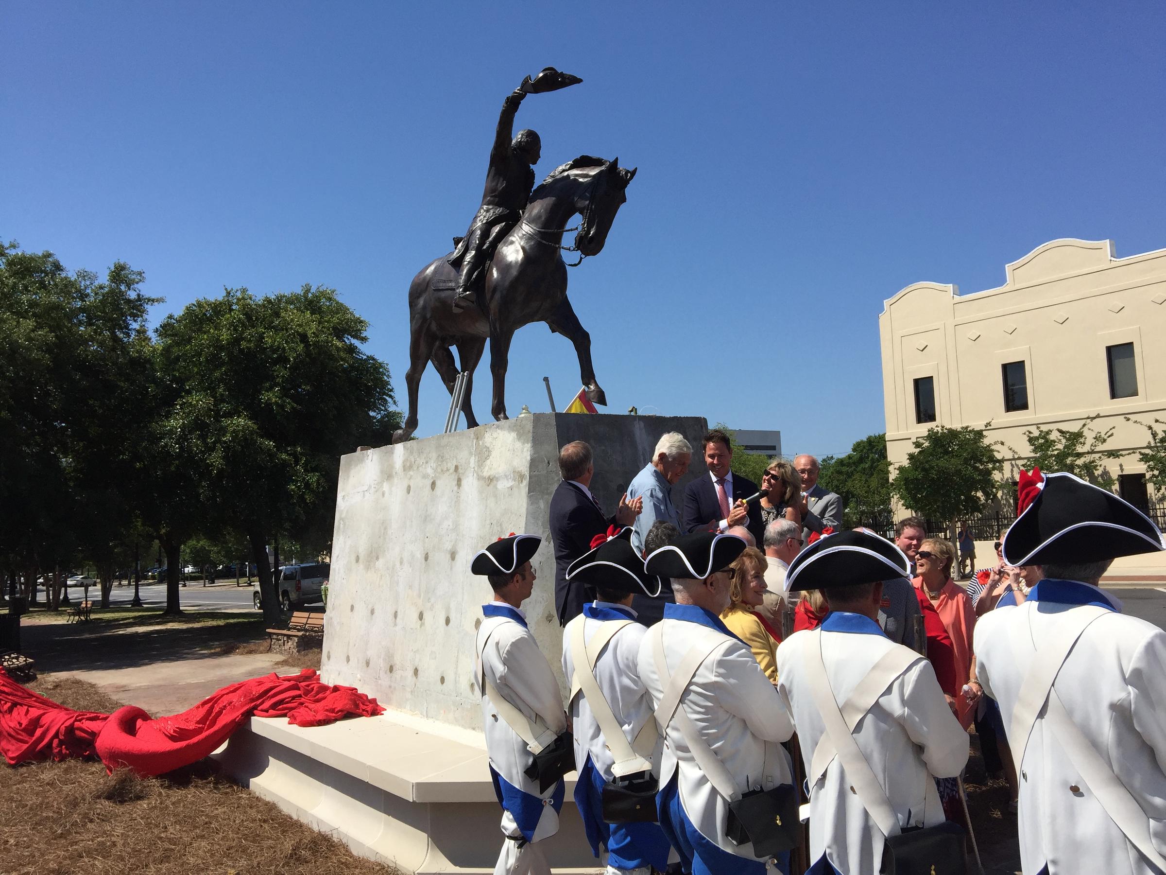
Monument to Bernardo deGalvez unveiled in downtown Pensacola CREDIT BOB BARRETT / WUWF NEWS
During that period in history, Spain was losing its status as a colonizing power around the world. Unlike Great Britain, the country simply did not have the resources. So little by little, West Florida’s boundaries were changing. In one section towards the end of his book, Mike Bunn says “In a dramatic period of less than a decade, regional maps had to be redrawn at dizzying rapidity.”
“Year by year almost things were being reformed and remapped,” said Bunn. “The borders were moving around. And it’s a really complicated but really intriguing portion of the Gulf Coast shared heritage. That era between the founding of British West Florida and when the last portions of colonial control are actually relinquished and it all becomes American.”
So one big question remains, given all the changes to the borders up until the time Florida became a state in 1845, why is that section of the Panhandle that is in the Central Time Zone still a part of the state?
“It wasn’t for lack of trying to give it away,” said Bunn. “There was more than one effort to acquire it by Alabama. It was actually offered a time or two and they didn’t see that it was going to be very productive at the time. It’s hard to believe by they didn’t think it was very productive land and would be more of a problem to administer. And then there were some efforts later going all the way fast forward to the 1890s in which that (effort) gained a little traction again, which is again a story unto itself. But there were negotiations going all the way back to Alabama statehood about whether or not that portion of the Florida Panhandle that’s just south of Alabama’s border might be included into the state of Alabama.”
Again, the name of Mike Bunn’s new book is “Fourteenth Colony – The Forgotten Story of the Gulf South during America’s Revolutionary Era”. It’s published by New South Books.


Be the first to comment!