An Invitation from Manteo, NC, Pamlico Sound

Click here for the Cruisers Net Focus-On article about the marina and town.
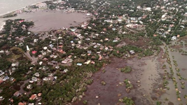
For the coming southbound cruising season, hurricane Dorian did not spare everyone and has some of our marinas closed along North Carolina’s outer banks. But all has not been lost by a long shot. So as you plan your cruise south this Fall, now more than ever is a great time to explore and discover all that is dotted along the rivers and coastal areas of North Carolina. There are two approaches to the “Old North State” from Virginia, one will take you down the interesting Dismal Swamp Canal and the other through Coinjock,NC into the North River. Either way there are an abundance of quaint, historic, fun places to visit.
Lets start with Manteo, NC, invitingly off the well worn path of the ICW, but refreshingly invigorating and such a fun place to visit.
Dockmaster, and longtime resident, Carl Jordan of Manteo Waterfront Marina, is extending an invitation to all boaters to visit Manteo, NC, Carl is rolling out Manteo’s red carpet of hospitality, gratefully sharing the welcoming warmth of this coastal land mark town along North Carolina’s outer reaches. The marina was spared major damage from Dorian, with only a few slips being impacted but their transient docks are fully operational and the towns delightful amenities are all open to serve you.
When you take Carl up on his offer to stay at the Manteo Waterfront Marina, you not only find hospitality galore, but you will be docked at the center of Manteo’s waterfront activities; the waterfront gazebo, picnic areas, and the Roanoke Marshes Lighthouse, and the George Washington Creef Boathouse. Indeed the center of Manteo, is the Manteo Waterfront Marina. Manteo and Roanoke Island are such a part of our nations history and offers visitors several days filled with interesting activities. One rapidly approaching event is schedule for the weekend of October 26th, and the Wooden Boat Show. This is always a fun event filled with some very interesting crafts…and boats !!
Coming down from the north at around MM 070 leave the charted ICW on a heading of about 126* for what some call “The Alternate ICW” into Roanoke Sound, approx 14 NM, to enjoy some of North Carolina’s historic and charming ports of call. The first on the list when heading south is The town of Manteo and your host, the Manteo Waterfront Marina. Here’s what some have had to say about hanging out in Manteo for several days at Manteo Waterfront Marina:
“ The town dock here in Manteo is a great location from which to enjoy local activities and tour the Outter Banks.
Based on our trip up the Pamlico if weather is favorable in the future we will use this route verses the Pungo Canal etc to go north and south as we have done that route a number of times now and advantages are out weighed by the abundance of stumps and deadheads that are ever present –”
“What a swell place to spend a couple of days. There is an excitement in the air as if something was about to happen. Children actually play in the streets here. The waterfront invites residents and tourists alike to walk along its length. BBQ pits and picnic tables! Park benches! I keep looking over my shoulder to see if Norman Rockwell is drawing all this, or is it really happening. “
Here’s a brief but excellent video that will give you a skippers perspective on Manteo Waterfront Marina and the town of Manteo:
https://youtu.be/M7i95bE__X8
The Manteo Waterfront Marina is located in a tranquil setting less than a mile from the Roanoke Sound. It is a small, deep, and well-protected harbor, and can accommodate vessels up to 150 feet in length. The marina has only 53 slips available, making it perfect for that extra personal service. There are approximately 20 transient slips and 33 slips dedicated to seasonal and annual boaters. Rates are based on length-of-stay and size of boat. We also offer arrangements for repairs, haul out, rental cars, and shuttle services to nearby airports in Manteo and Norfolk, VA. Pump out service is available at the marina and fuel is available nearby.Casual dining, shopping, and supplies are all within walking distance of the marina.All slips feature 30 and 50 amp power, cable television, and free wireless Internet access. The air conditioned comfort station located at the marina features separate men’s and women’s bathrooms, clean showers, and coin operated washer and dryer. Boaters come to Manteo for its coastal charm and relaxed atmosphere.The Town of Manteo also provides free overnight tie-up with no services on a “space available” basis; or you may anchor in good holding between the Waterfront Gazebo and Roanoke Marshes Lighthouse and take your dinghy to the dock.
Here is a link to a video to help you with your entrance to their channel if needed…
https://townofmanteo.com/index.asp?SEC=78DEF008-87F3-4FAE-9CED-AEE39B6B5A35&DE=B8F588D8-6EB3-476D-A6E8-3C6009483FF2&Type=B_BASIC
And after several peaceful, fun, relaxing and enjoyable days in Manteo, consider the Albemarle Loop where other towns and marinas, that were spared the wrath of Dorian, have their welcome mats out and offer even more southern hospitality, local events and culinary delights to tease and please your appetites. Check out the Albemarle Loop and all that the participating marinas offer https://www.albemarleloop.com/
And for goodness sake, as you head on south, there are many other “boater’s paradises” along the western shores of North Carolina’s rivers and sounds. All with their unique contributions to your cruising enjoyment and experiences.
This year, the Fall of 2019, we encourage you to enjoy more of what is often passed by or only briefly enjoyed. That old saying, “It’s not just the destination, it is the journey” is loaded with truth. So create those special smiles that can not be erased, make your journey the objective or destination.
Wishing all blue skies, gentle breezes, good health and good time. Carl Jordan, Your Host, Manteo Waterfront Marina, Manteo, NC |
Click Here To View the Cruisers’ Net’s North Carolina Marina Directory Listing For Manteo Waterfront Marina
Click Here To Open A Chart View Window, Zoomed To the Location of Manteo Waterfront Marina


Be the first to comment!