NOAA Navigational Services Quarterly Newsletter
NOAA is also having an Open House April 26 in Silver Spring, MD. See Open House for details.
| |||||||||||||||||||||||||||||||||||||||||||||||||||||||||||||||||||||||||||||||||||


NOAA is also having an Open House April 26 in Silver Spring, MD. See Open House for details.
| |||||||||||||||||||||||||||||||||||||||||||||||||||||||||||||||||||||||||||||||||||
Our thanks to Tom Hale for this warning and photo – worth a thousand words.
100 yards north of I64 high rise
Big deadhead 100 yards north of I64 highrise Bridge Norfolk right on the channel
Tom Hale

Click Here To View the Cruisers’ Net’s Va to NC Bridge Directory Listing For I-64 Bridge
Click Here To Open A Chart View Window, Zoomed To the Location of I-64 Bridge

Longboat Key Club Moorings, A CRUISERS NET SPONSOR, guards the western shores of Sarasota Bay, north of the city of Sarasota and south of Longboat Pass. See Amenities Galore for their current promotions.
The staff at the marina at beautiful Longboat Key Club Moorings wants to send their sincerest thanks to all the Captains, Skippers and Crew who stay with them and, also, to extend a cordial invitation to all cruisers to come and experience their warm hospitality and the area’s many amenities.

Longboat Key Club Marina Staff
Click Here To Open A Chart View Window, Zoomed To the Location of Longboat Key Club Moorings
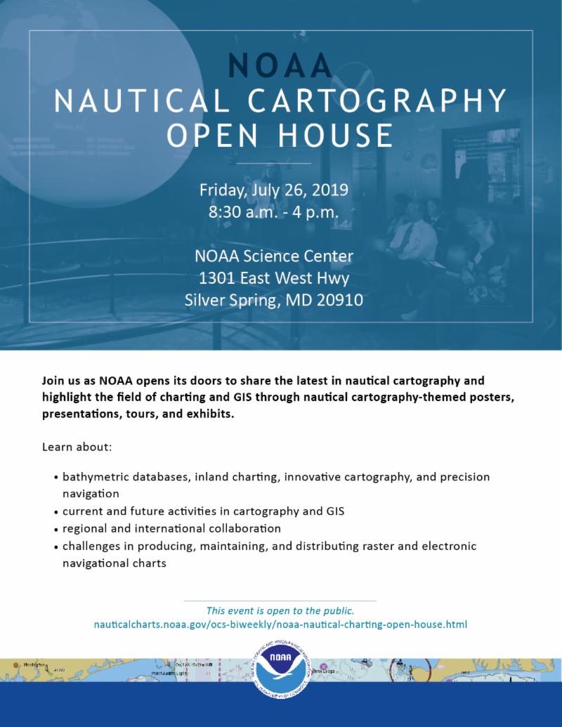
If you are in the Washington area and have land transportation, this would be a fascinating tour of the NOAA Cartography facilities in Silver Spring.
Save the Date: NOAA Nautical Cartography Open House 2019
|
|
The Lockwoods Folly/AICW intersection has been designated a Problem Stretch for years due to shoaling and a shifting channel. Despite dredging of the intersection in March of this year, Cruisers Net still recommends mid to high tide for passage. Our thanks to Tom Hale for this report as posted on Robert Sherer’s Bob423 blog.
Lockwoods Folly April 3, 2019
This has been a tough ICW trouble spot for the past couple of years. Dredging has just been completed and the channel has been re marked. As of today, it is a simple straight shot. Just stay between the markers for 12-14 feet at low tide. I can attest to the low tide depth, we came through at dead low this afternoon.
There is one spot where we saw 8.5 feet. That was about 300 feet west of R36. It is a shallow spot already identified on the USACE surveys from post hurricane Florence, 2018. At 8.5 feet MLLW it is not a significant issue. It may help to stay on the green side of the channel. But this shoal must be watched over the course of the next 6 months as it may build up and become an issue for the southbound cruisers next fall.
The USACE surveys have been a fabulous help transiting the ICW this spring. We have transited Ashepoo-Coosaw Cutoff, Dawho River, Watts Cut, Fenwick Cut, Isle of Palms and, Hell Gate, so far. Will hit Snows Cut, Carolina Beach, Mason Inlet, and Browns inlet in the next few days.
1. Our track on a NOAA chart. We were travelling with another boat who was using only Navionics (as were we also). They reported that Navionics was also fine in this section.
2. This is the overview of Lockwoods Folly showing our track of April 3, 2019 at 13:30. The USACE surveys at the west end of Lockwoods folly are no longer accurate due to the recently completed dredging. There was a survey boat working in this area today. Hope to see updated survey soon.
3. This is the western end of Lockwoods Folly. You can see our track at low tide. The USACE survey data is now wrong. Just follow the ATONs for 12-14 feet at low tide.
4. This is the eastern end of Lockwoods Folly. You can see our track at low tide. The USACE survey has been showing a shoal near R36 since the hurricanes last fall.
5. Close up of the east end showing the shoal.
— with Cristina M. Sison.


 Click Here To Open A Chart View Window, Zoomed To This AICW Problem Stretch
Congratulations to Morehead City Yacht Basin, A CRUISERS NET SPONSOR, for their placement in this annual competition. Morehead City Yacht Basin is located on the southern flank of the marked channel that runs west from Mile 203 of the Waterway, just north of the Morehead-Beaufort high-rise bridge.
Morehead City Yacht Basin has earned Honorable Mention as a top contender in ValvTech’s annual Best Marinas award competition.
“With so many deserving marinas having excellent qualifications, picking a winner is no easy task. Congratulations to Conch Harbor,” said Marvin Griffin, President of ValvTect.
“I would like to mention the other top contenders for this award – Newport Yachting, Noank Shipyard, Haulover Marine Center, Bayport Marina, Camden on the Lake Marina, Point Oasis Marina, Morehead City Yacht Basin, Swanton Marina, Algonac Harbor, Concord Marina and Pier 1000. Congratulations to all,” he added.
ValvTect judges entries based on operations, commitment to customer service and environmental stewardship.
Click Here To Open A Chart View Window, Zoomed To the Location of Morehead City Yacht Basin
Cape Fear River was closed to all traffic on April 8 to facilitate the transit of a crane upstream. Our thanks to Southport Marina for this video in their April Newsletter.
Video of Crane Recently Barged Up Cape Fear River

Click Here To View the North Carolina Cruisers Net Marina Directory Listing For Southport Marina
Click Here To Open A Chart View Window, Zoomed To the Location of Southport Marina
Bennett Brothers Yachts/Cape Fear Marina, A CRUISERS NET SPONSOR and currently offering a complimentary week of dockage, is located on the eastern banks of the northeast Cape Fear River, just north of the Isabel Holmes – Highway 133 bascule bridge, and only a few steps from the downtown Wilmington waterfront. Our thanks to Jim and Denise Kiley for their praise as posted on AGLCA’s Forum.

Bennett Bros. Yachts. Great boatyard with an excellent reputation. Good people. I’m having work done there now.
Jim and Denise Kiley
M/V Sirenuse III
Prestige 50
Our thanks to Richard and Jill Spurlock for granting permission to share their excellent description of Cumberland Island as posted on AGLCA’s Forum. Cumberland Island National Seashore is a National Park on the east shore of the Waterway’s passage through Cumberland Sound south of Jekyll Island. There are only dinghy docks on the island and one of Claiborne’s favorite side trips along the south Georgia coast was to leave the Waterway at marker #34 and cruise up the Cumberland Island channel to anchor off the west side of Cumberland Island and east of Drum Point Island. See Anchoring off Cumberland Island and the Park’s website is https://www.nps.gov/cuis/index.htm.
If you would like to explore a great island park stop at Cumberland Island National Park just North of Fernandina Beach, Florida. Cumberland Island is the first barrier island you see [northbound] after you cross the Georgia line on the ICW. There is a long anchorage area that is protected except from the south and southwest. There were boats from 22 feet to 55 feet anchored in this 1/2 mile long anchoring area while we were visiting. There is a lot to see and do here if you like the outdoors. There are the Dungeness ruins, remains of a huge mansion and outbuildings, wild horses, Plum Orchard Mansion still intact with tours. You can also walk a half a mile to the Atlantic side and have a beach that goes as far as you can see. We only met two people walking the beach the day we were there. If the weather is nice you can easily spend 3 days here walking and enjoying the outdoors. There are 2 docks where you can tie a dinghy on the southern end and one on the Brickhill River where the Plum Orchard Mansion is located. This is a national park so there is a $10 per person entry fee for adults. Check it out on the web.
Richard and Jill Spurlock
Jill Kristy
MacGregor 26 X

Cumberland Island Beach, photo by Sonny Reeves
Such a beautiful place.
Another beautiful North Carolina sunrise from Tammy Hori.

Once again experienced cruiser, Tom Hale, shares his observations from his recent navigation of this Problem Stretch. As recently as January, Local Notices report shoaling and relocation of ICW buoys in the constantly shifting sands of this intersection.
Click here for New River inlet crossing
Click Here To View the Cruisers Net AICW Problem Stretch Listing For New River/New River Inlet
Click Here To Open A Chart View Window, Zoomed To the Location of New River Inlet
Our thanks to Martin and Cindy Dahm for this report of another door closed to cruisers. Will anchoring in the Basin be next? See https://cruisersnet.net/690 for more comments from Martin Dahm. Tarpon Basin lies on the east side of the Waterway in the northeast corner of Buttonwood Sound.
My wife and I have been anchored at Tarpon Basin in Key Largo for the last 3 weeks and have been using the dinghy dock at the Murray E. Nelson government building without any issues. However yesterday we returned from running errands ashore and found the attached signs had been posted in the parking lot and in several places on the dock. As of April 15, 2019 no one will be able to tie up to the dock, trees or moor within 25 feet of the dock. Overnight parking will also be prohibited. I suppose you could still use the dock to drop someone off and then pick them up later, but no can leave their dinghy tied up anywhere on the property. Looks like Monroe County is rolling up the welcome mat for the cruising community.
Best Regards,
Martin and Cindy Dahm
S/V Just One Dance
Lagoon 380 S2


Click Here To Open A Chart View Window, Zoomed To the Location of the Tarpon Basin Anchorages
When I saw the first photo I wondered, how many cruisers have their car parked overnight at the county property? These are not cruisers, but they sure are ruining it for those of us who are.
Spend your money where you are welcomed.
Amen to that. No matter what part of the proverbial “public” you work with, there will always be some that will spoil the amenities offered, and all will suffer.
It isn't the water, it's the land; or more specifically, the abuse of the shoreside facility by unthoughtful live-aboards. The county center had become a garbage dump, bathrooms were constantly fouled, and the parking lot had become an ersatz boatyard. Efforts were made to educate users of these issues, but the problems continued to be exacerbated. When we cruisers take advantage of community resources, we have to be responsible, and most of us are. Yet, some who decide that they want to "live off the grid" have taken the generosity of the public too far and the results are that we all lose some of the benefits that we as taxpayers and visitors should enjoy. This should be a lesson to us all.
Who owns the water??!!
Our thanks to Tom Hale for allowing Cruisers Net to post his recent Waterway passage through Isle of Palms as posted on SailFeed.com. This stretch north of the Ben Sawyer Bridge has been a Problem Stretch for some time with numerous warnings in the past. Cruisers Net continues to advise mid to high tide passage only. Isle of Palms is home to CRUISERS NET SPONSOR, Isle of Palms Marina, located on the east side of the Waterway north of the Charleston Harbor.
Click here for Isle of Palms SC 2019
Click Here To View the Cruisers Net “AICW Problem Stretches” Listing For North of Ben Sawyer Bridge
Click Here To Open A Chart View Window, Zoomed To This AICW Problem Stretch
Click Here To View the South Carolina Cruisers Net Marina Directory Listing For Isle of Palms Marina
Click Here To Open A Chart View Window, Zoomed To the Location of Isle of Palms Marina











Be the first to comment!